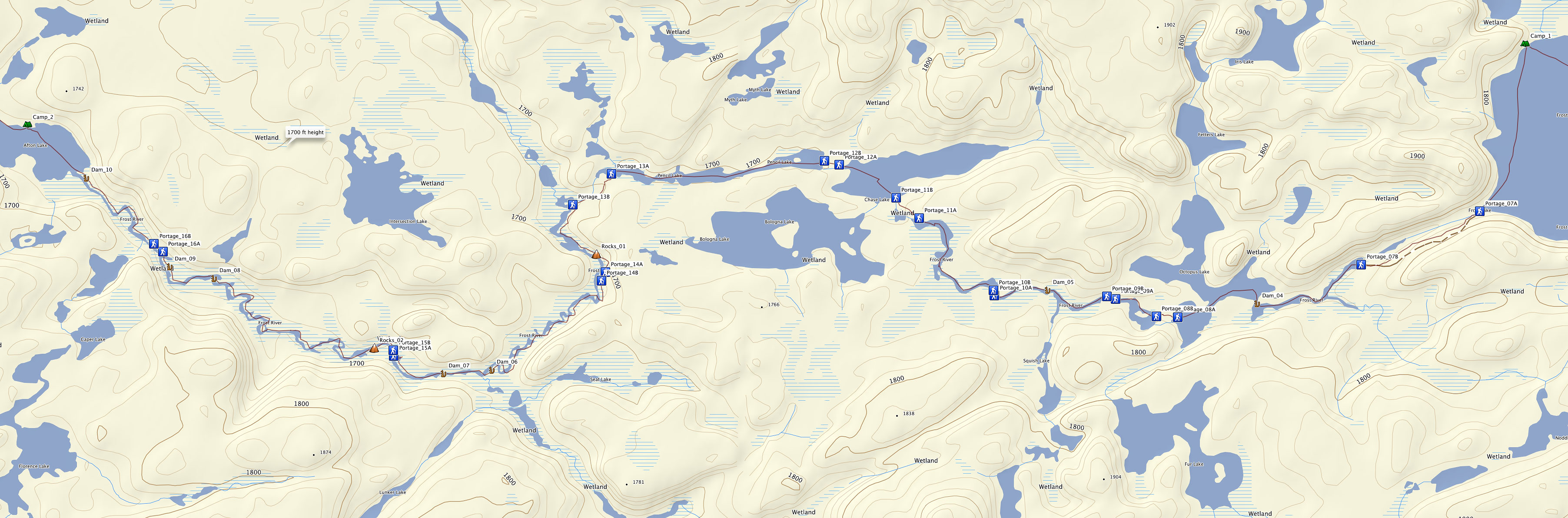
This map displays the exact tracking and waypoint markings direct from my GPS, so portage and beaver dam locations should be current and accurate. (Some of the portage information on the commercial maps is outdated.)
These photos and notes describe the trip as traveled from east to west (Frost Lake to Afton Lake).
Click on any image below for a higher resolution version.
This map displays the exact tracking and waypoint markings direct from my GPS, so portage and beaver dam locations should be current and accurate. (Some of the portage information on the commercial maps is outdated.)
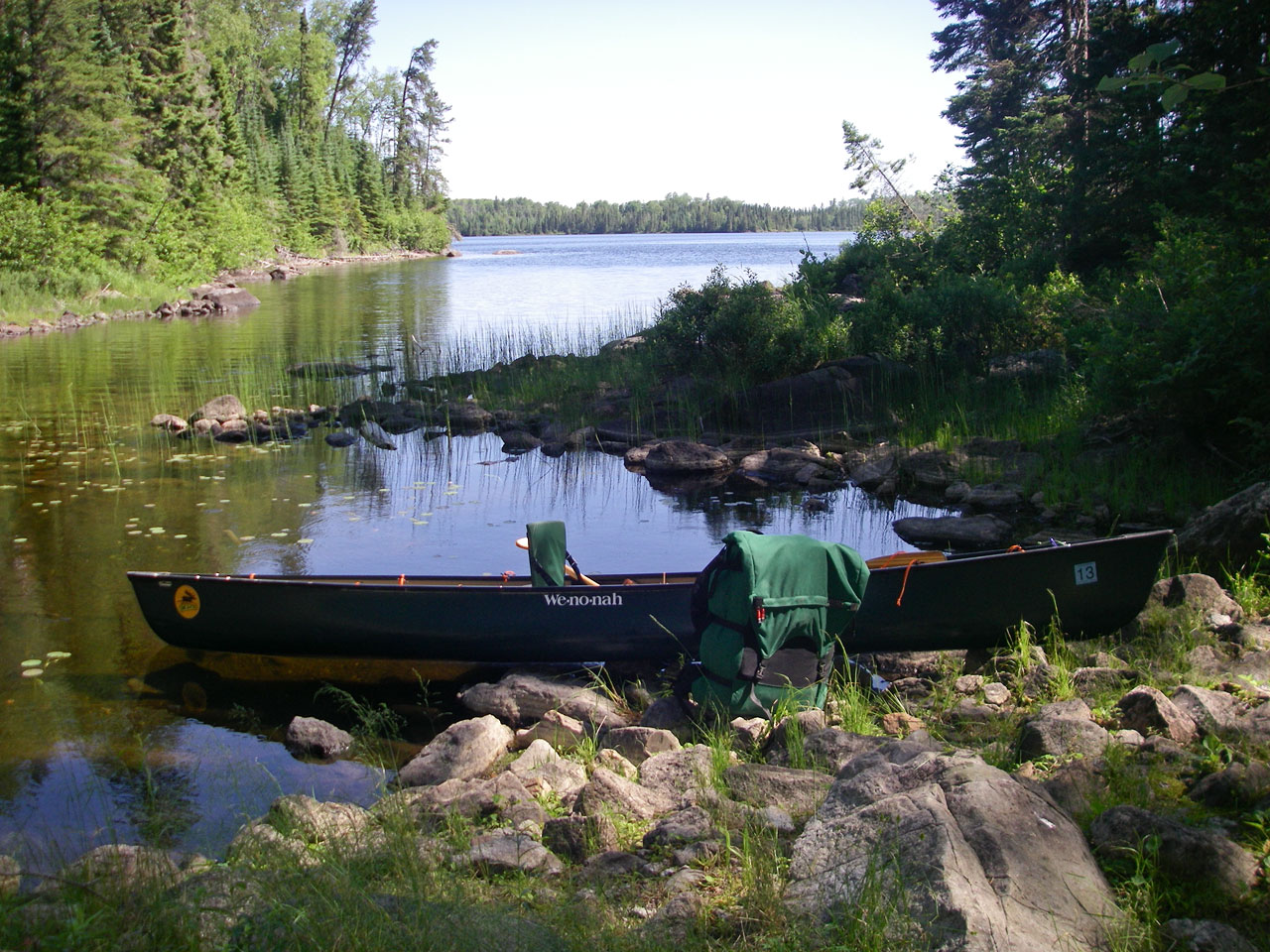
Looking east at Frost Lake from east landing of 1st portage (GPS: Portage_07A).
Beginning of portage trail at east side of 1st portage (GPS: Portage_07A).
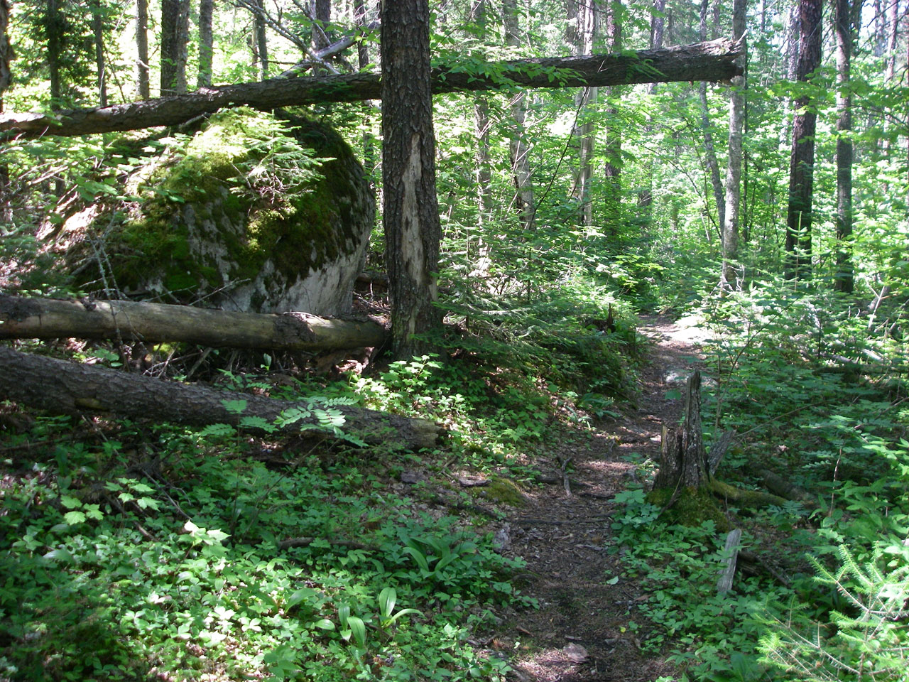
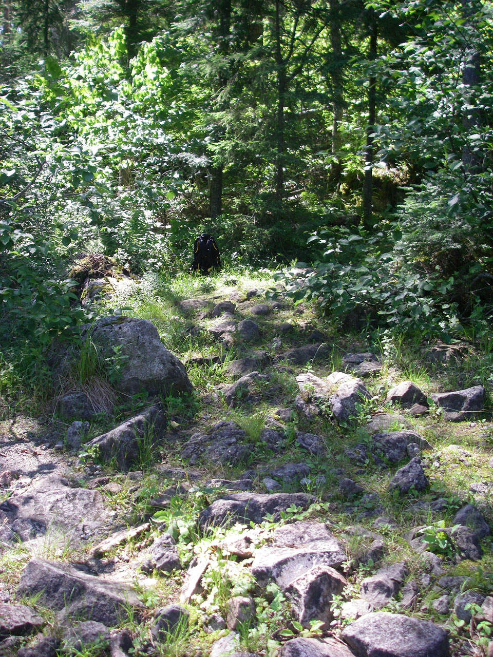
Trail along 1st portage (GPS: Portage_07).
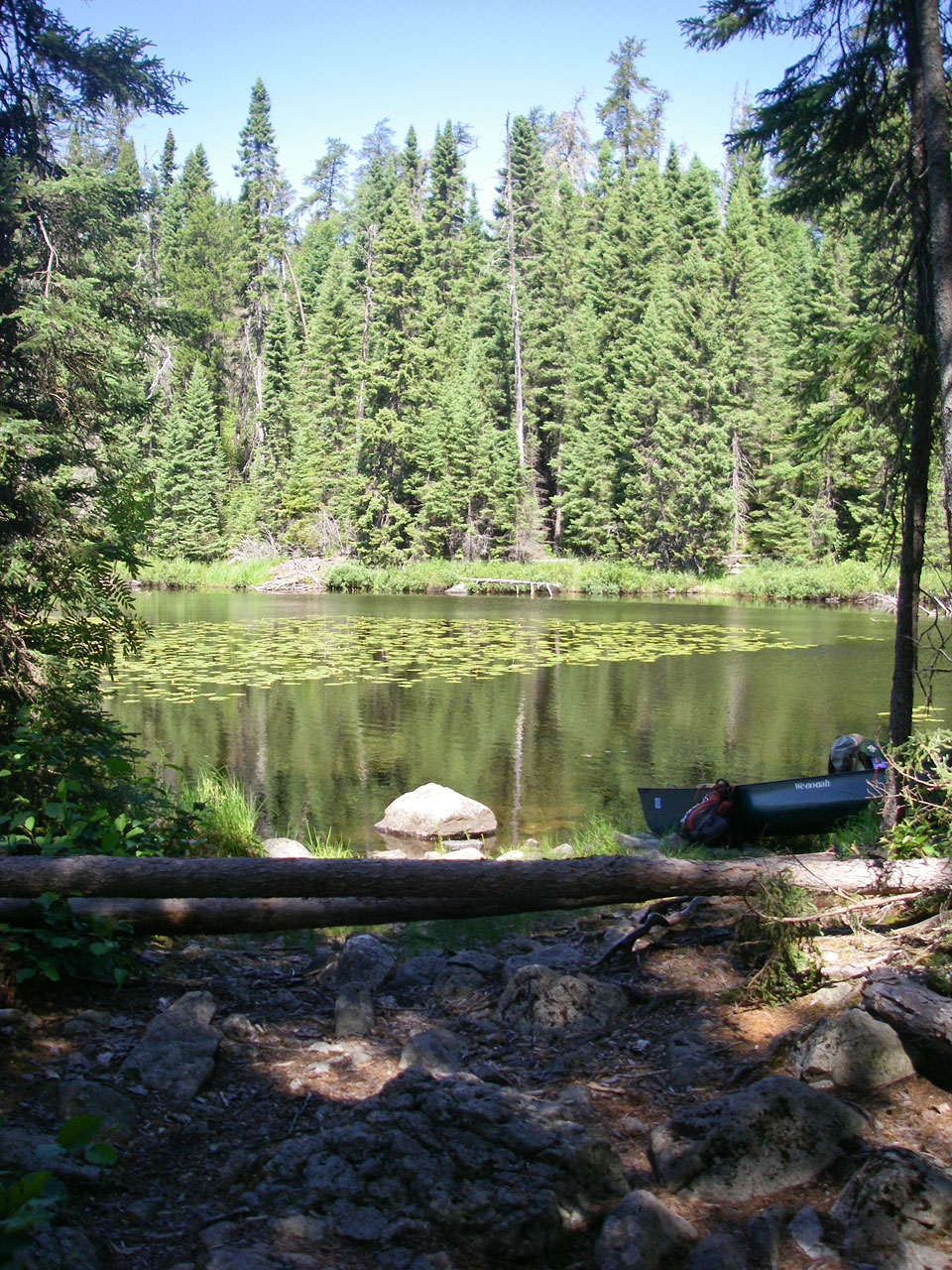
First view of Frost River from west landing of 1st portage (GPS: Portage_07B).
Looking west along Frost River from west landing of 1st portage (GPS: Portage_07B).
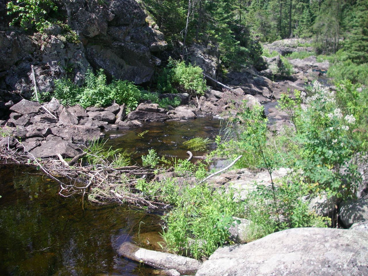
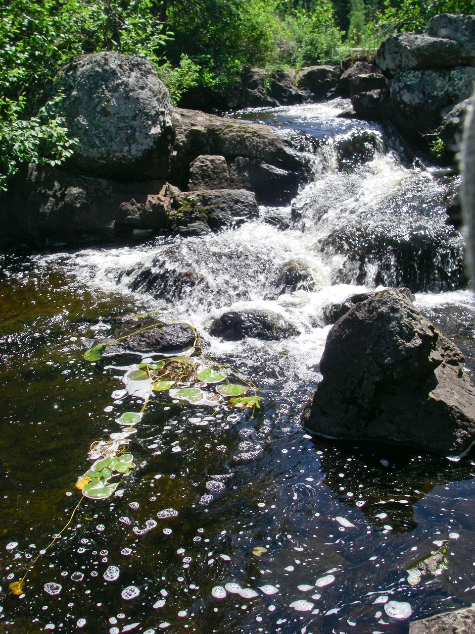
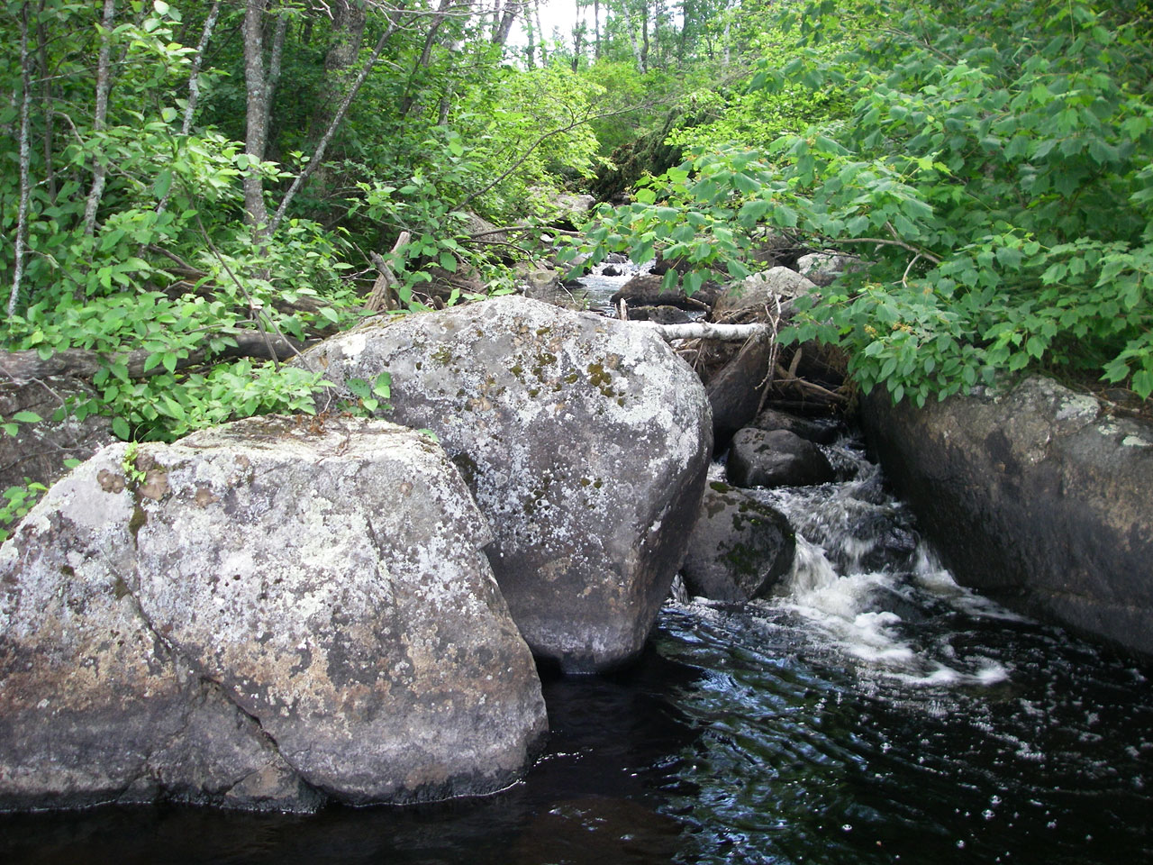
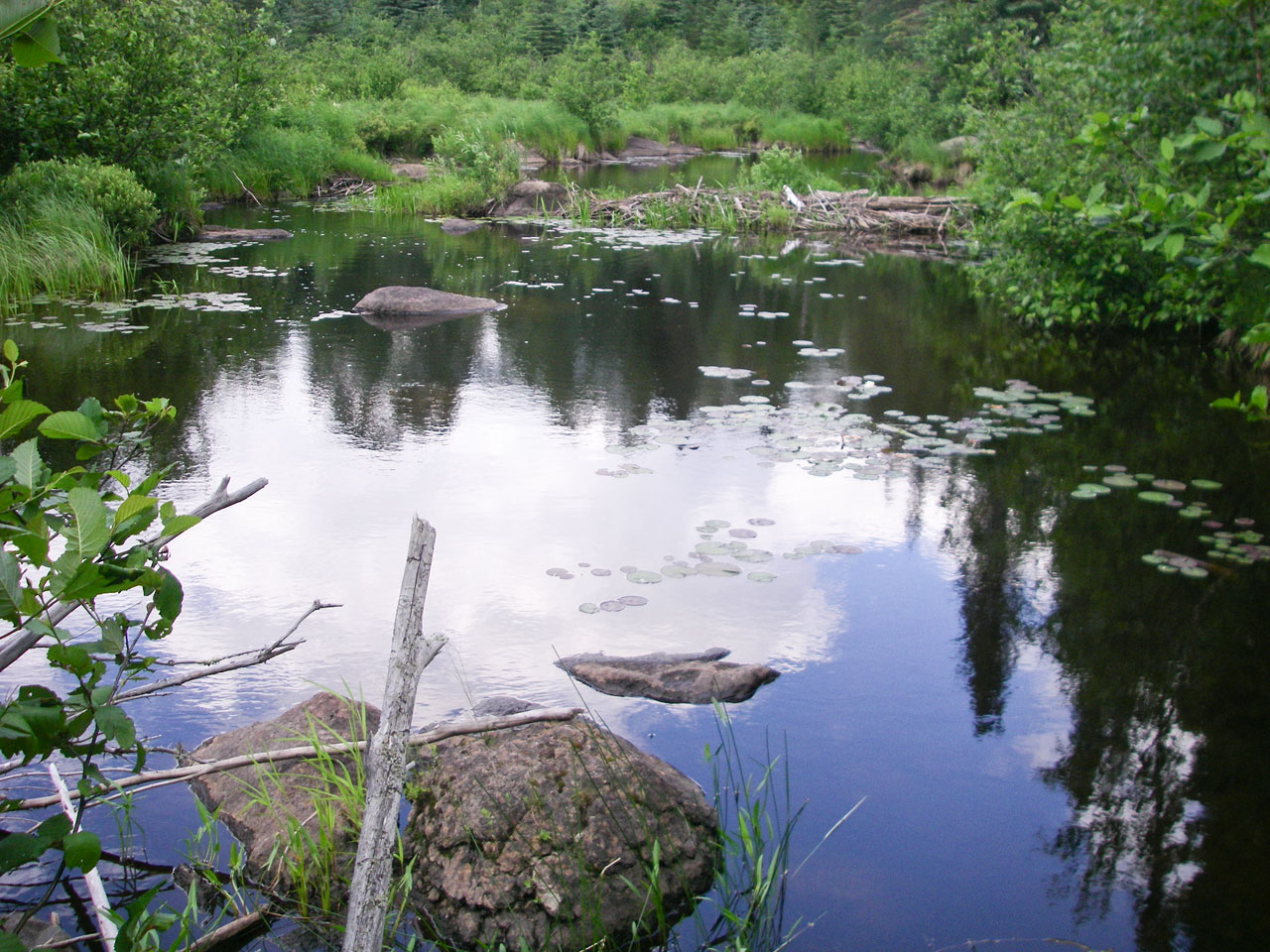
Looking east along Frost River just before entry to Octopus Lake (GPS: Dam_04). Note that there is no portage on previous stretch of river as indicated on some maps.
Looking north at beaver dam and rocks at narrow entry to Octopus Lake (GPS: Dam_04).
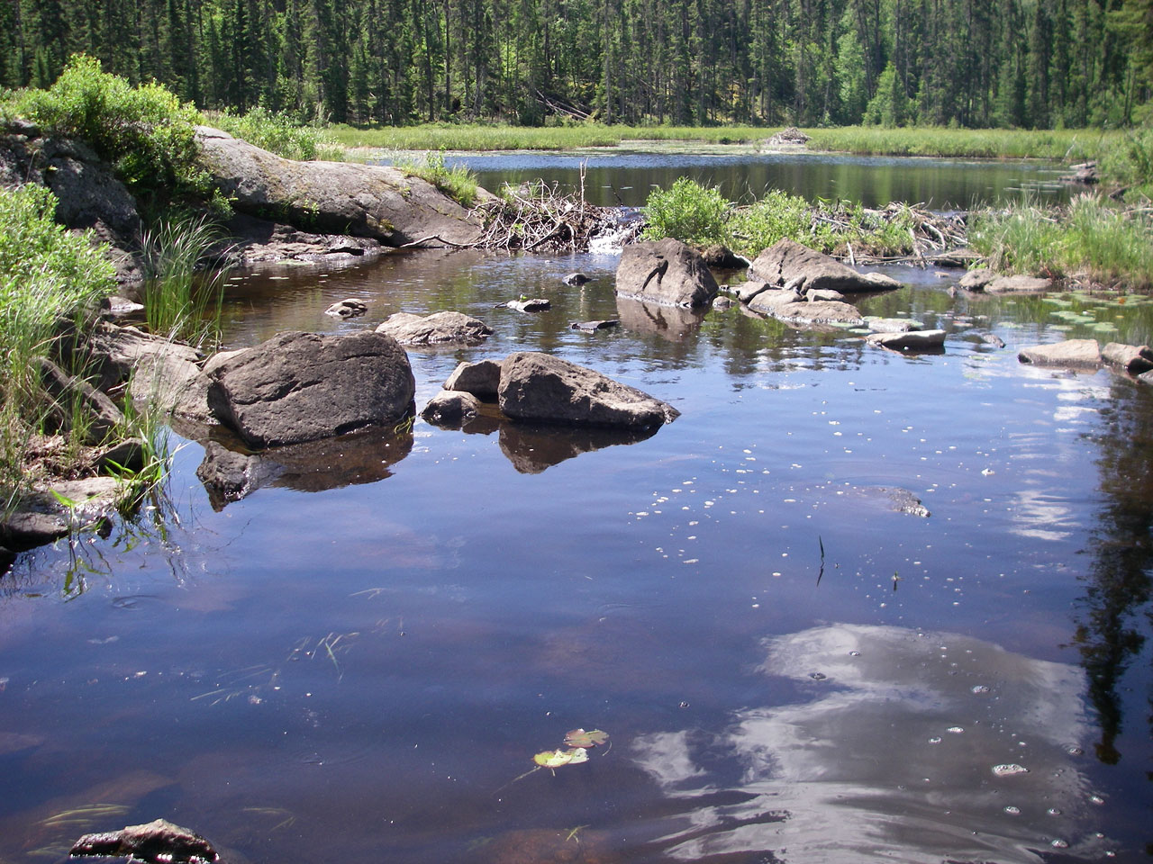
Looking back (south) at rocks and beaver dam at narrow entry to Octopus Lake (GPS: Dam_04).
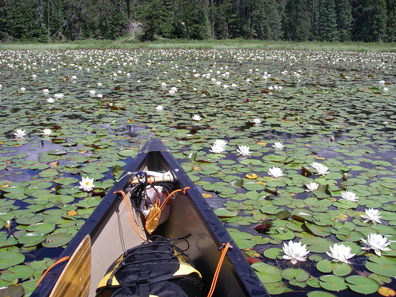
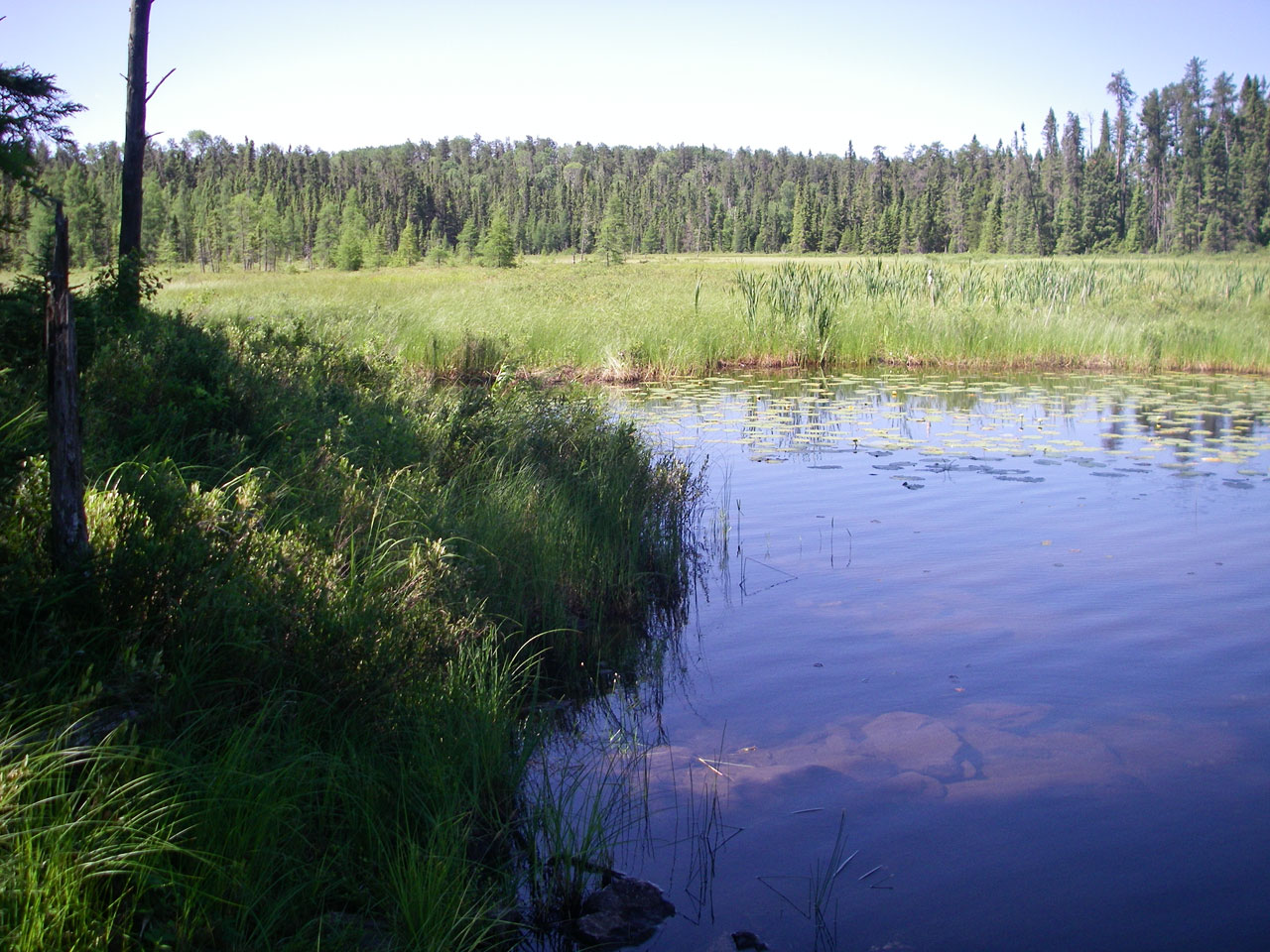
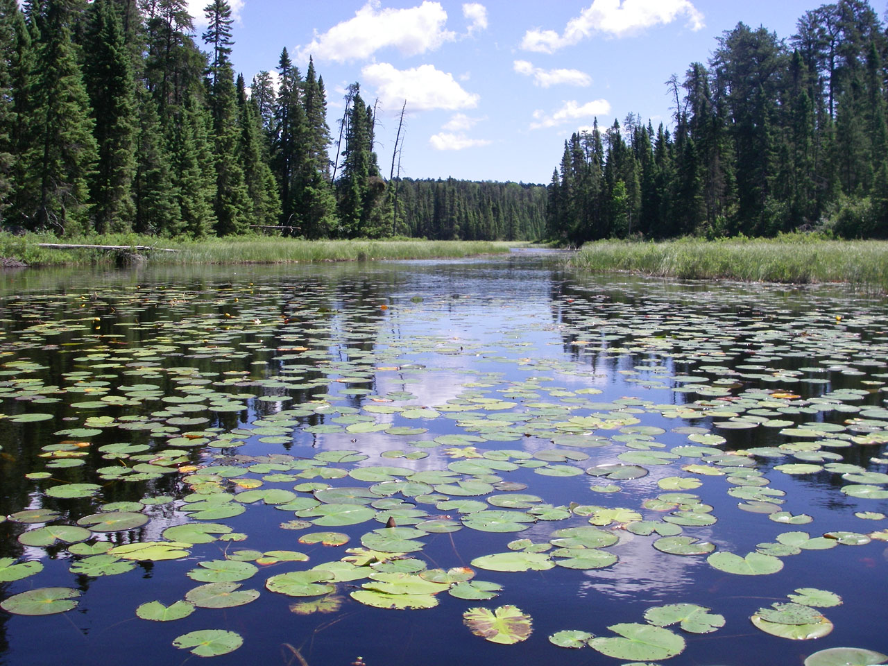
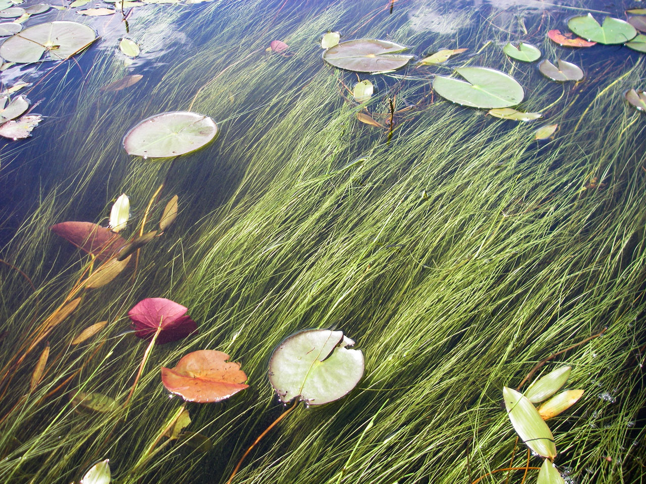
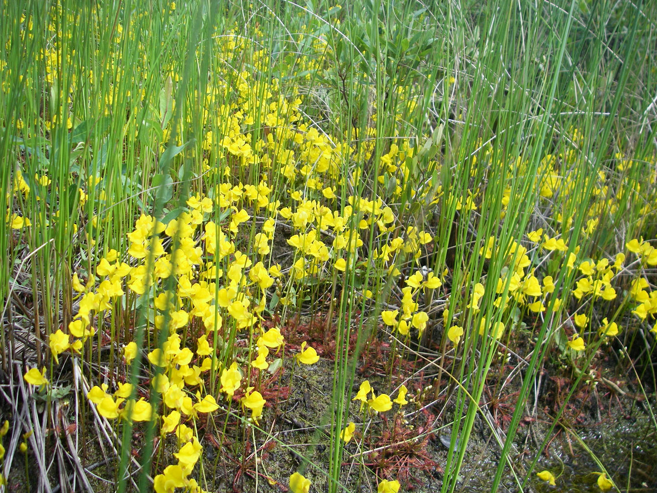
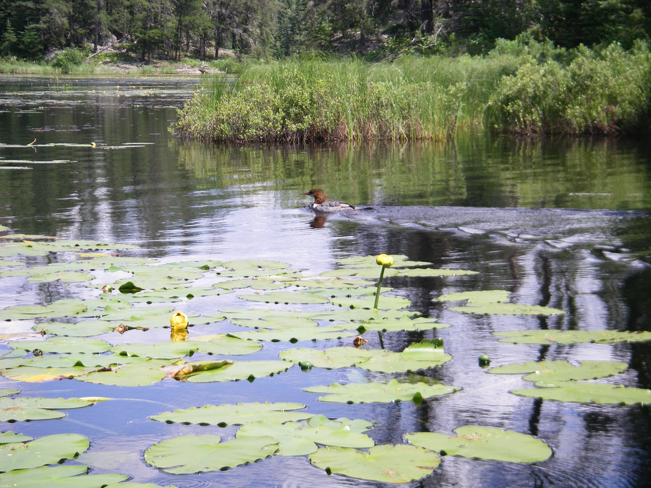
Water lilies in east arm of Octopus Lake, just after entrance (GPS: Dam_04).
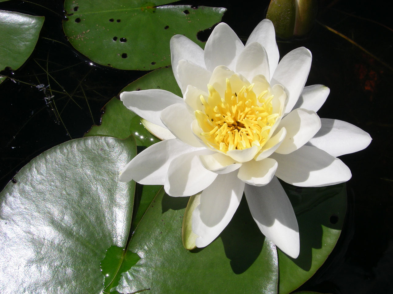
Water lily in east arm of Octopus Lake, just after entrance (GPS: Dam_04).

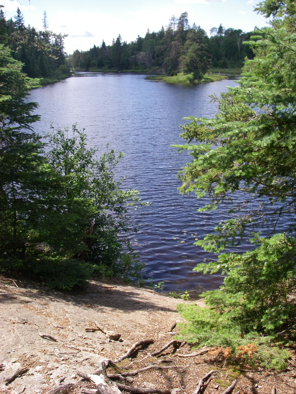
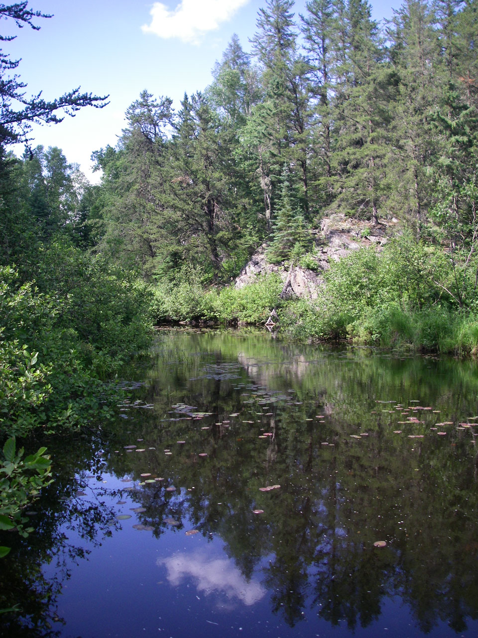
Looking west from east arm of Octopus Lake, just after entrance (GPS: Dam_04). Octopus Lake is a favorite of mine along the Frost River route.
Looking east at Octopus Lake from east landing of 2nd portage (GPS: Portage_08A).
Rocks on trail along 2nd portage (GPS: Portage_08).
View of river beside trail on 2nd portage (GPS: Portage_08).
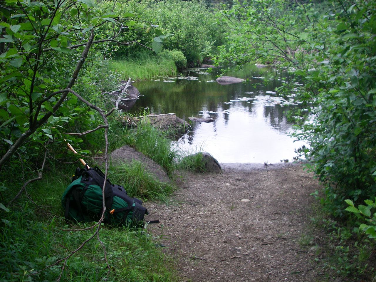
Looking west at approach to 3rd portage (GPS: Portage_09A).
Looking east along Frost River from east landing of 3rd portage (GPS: Portage_09A).
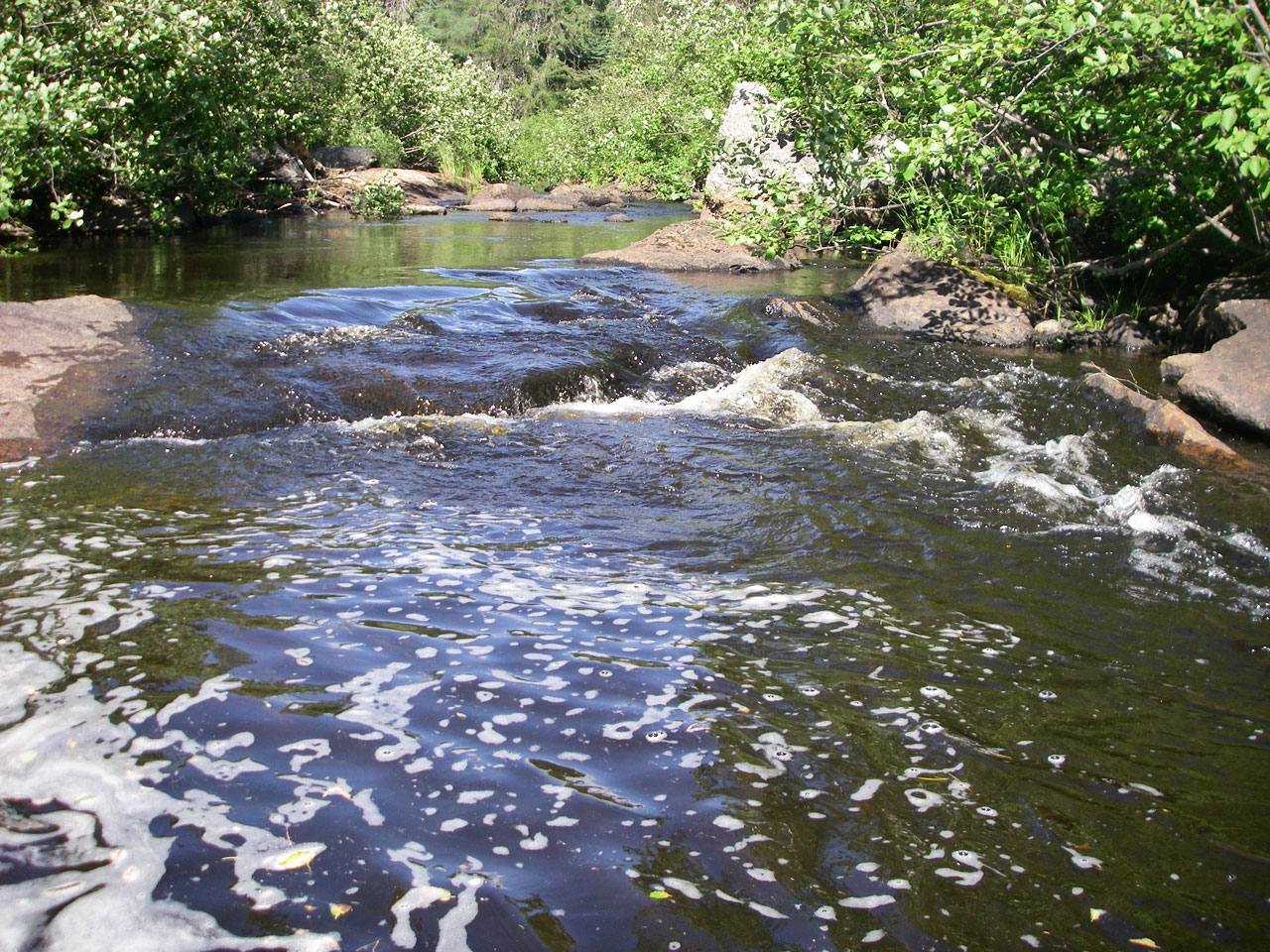
Looking west at beaver dam and rapids beside 3rd portage (GPS: Portage_09A).
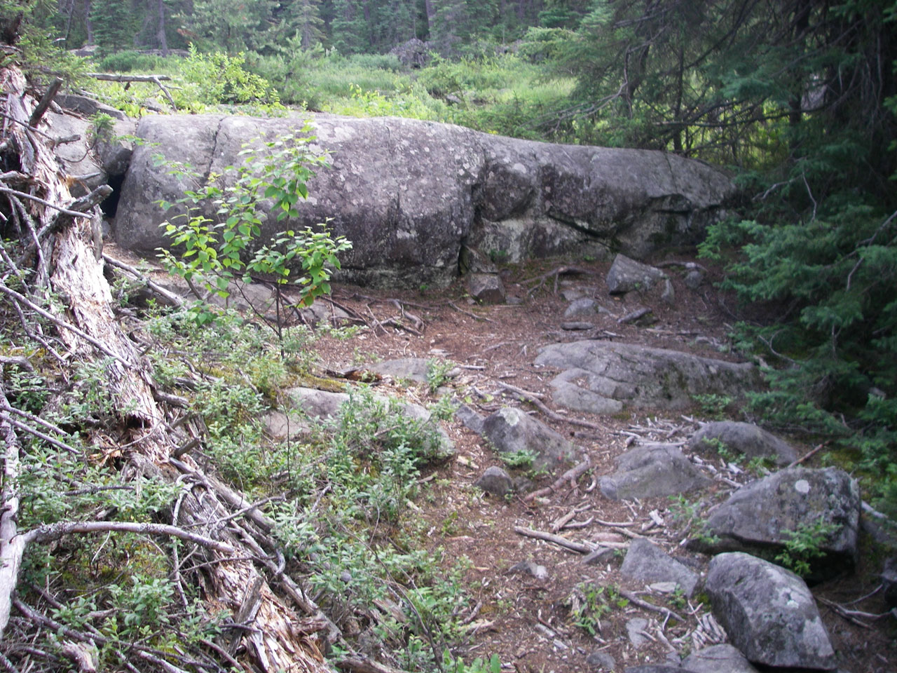
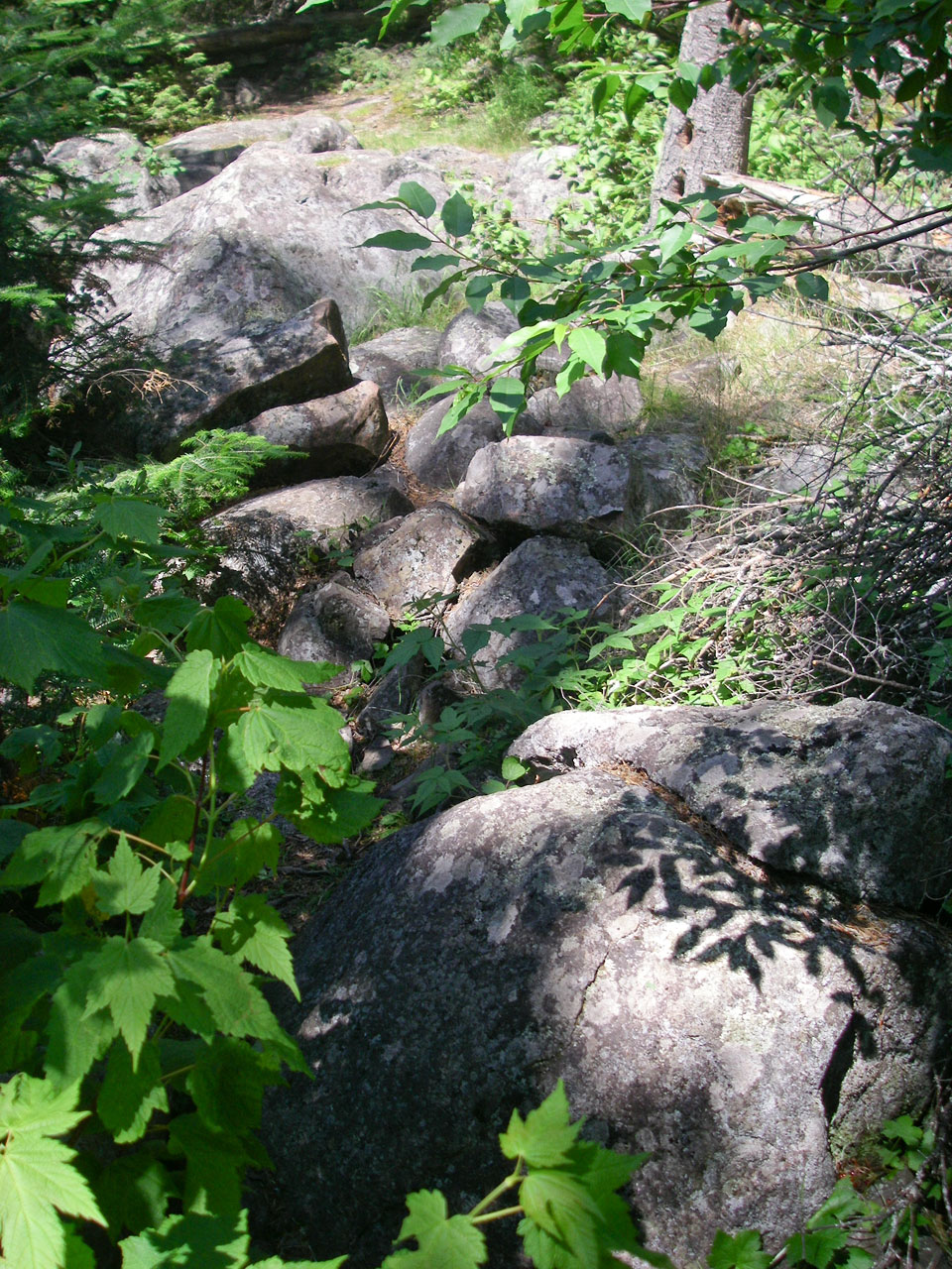
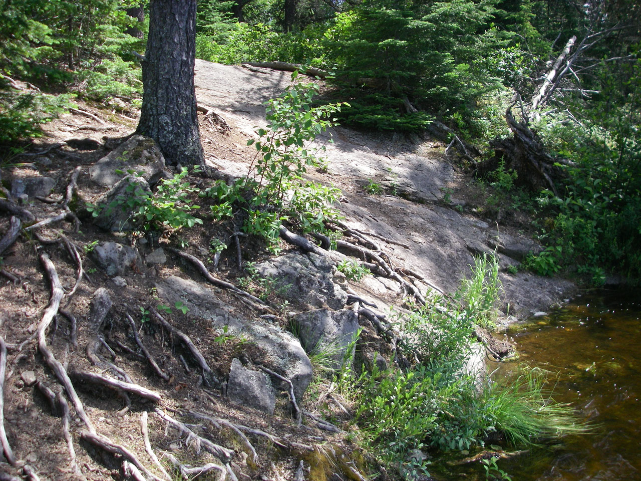
Nuisance rock ledge along 3rd portage trail (GPS: Portage_09).
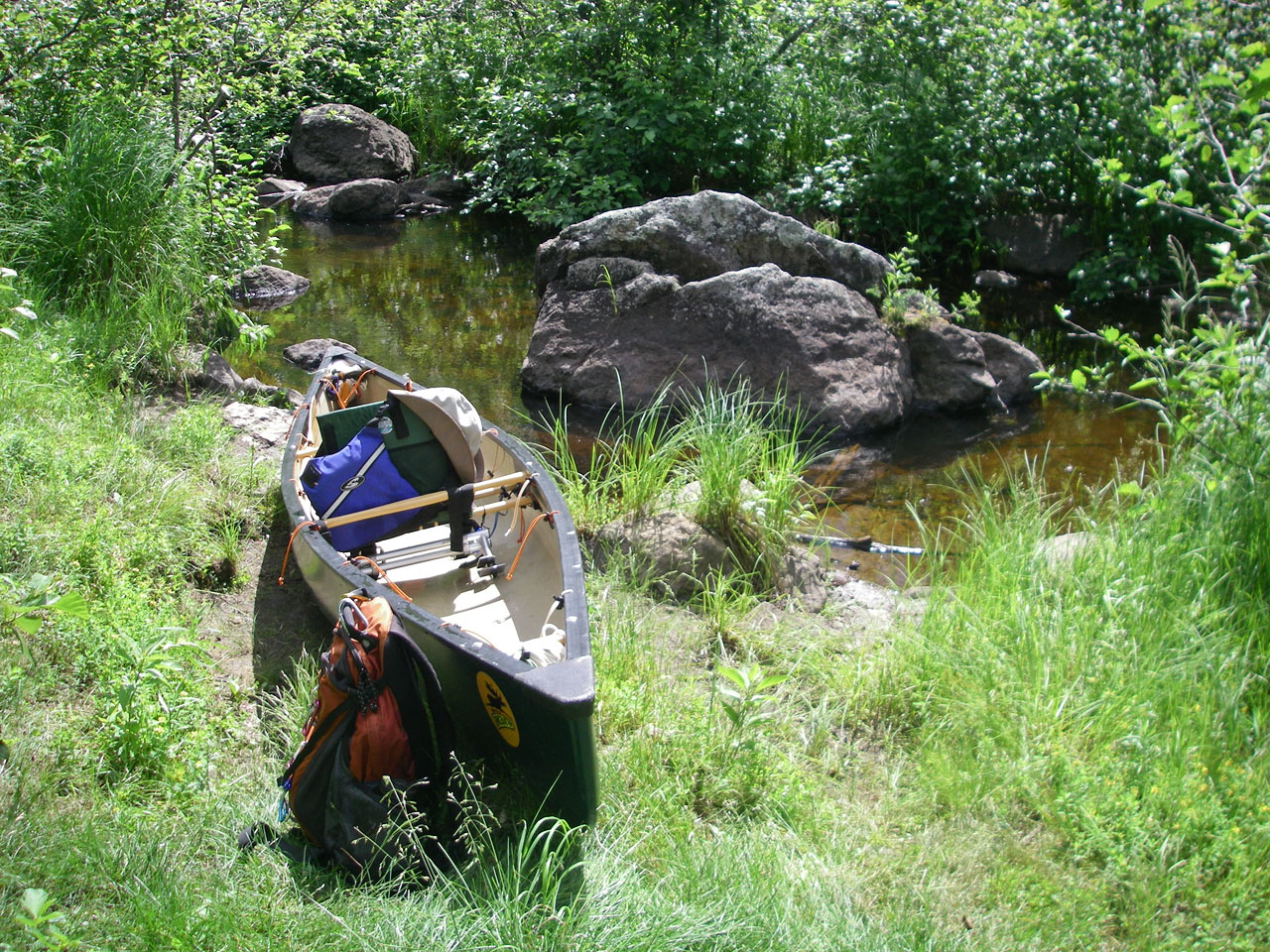
Looking west along Frost River from west landing of 3rd portage (GPS: Portage_09B). Note choice here to either pull through a few rocks or put-in further west at boulder field.
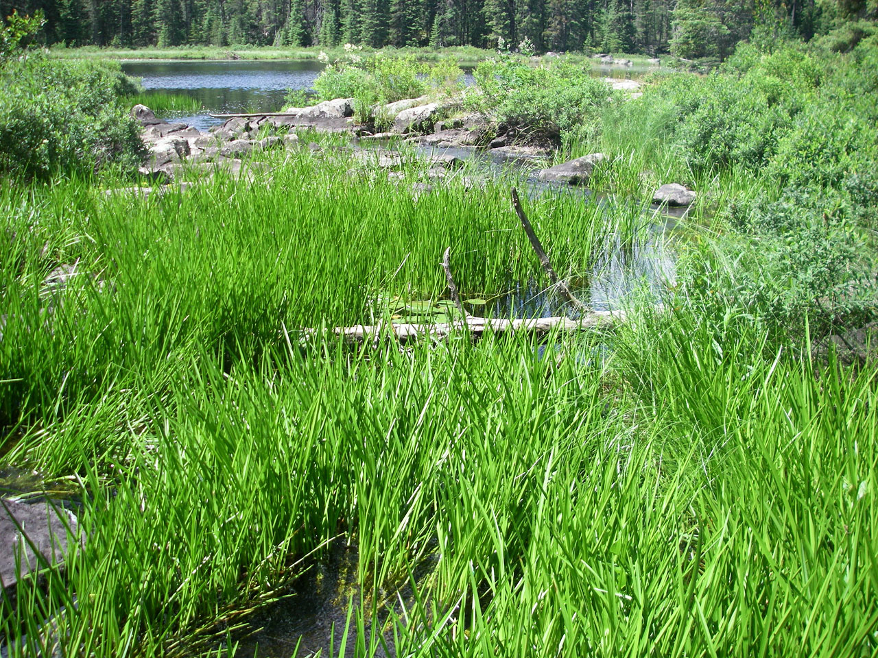
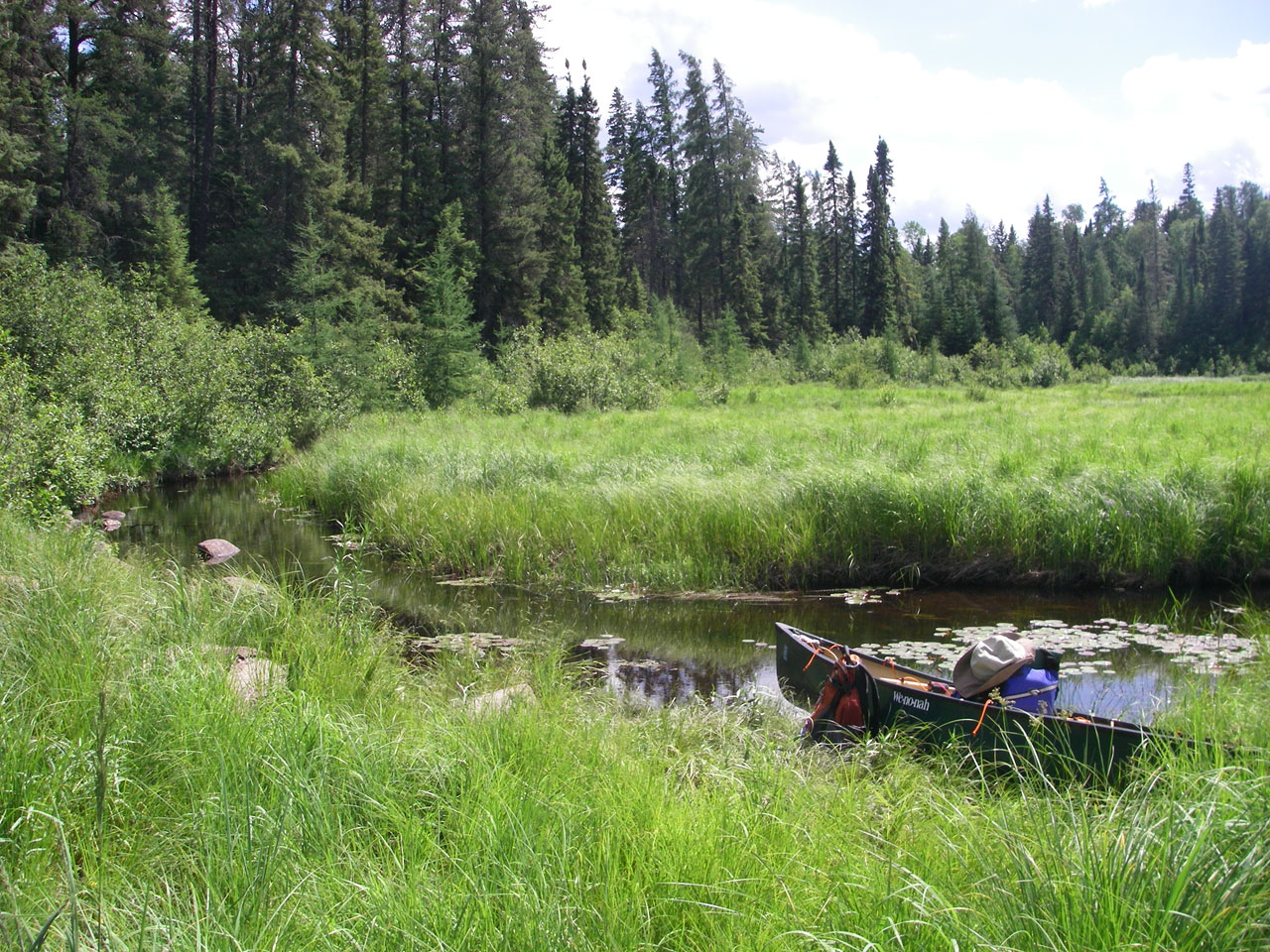
Grassy stretch between 3rd and 4th portages (GPS: Dam_05).
Grassy stretch between 3rd and 4th portages (GPS: Dam_05).
Looking east along Frost River from east landing of 4th portage (GPS: Portage_10A).
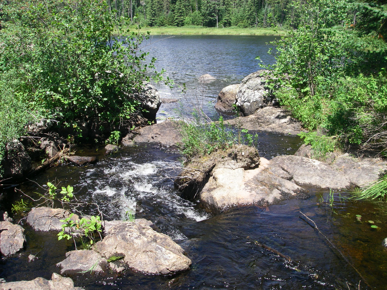
Looking west at top of little falls beside 4th portage (GPS: Portage_10A).
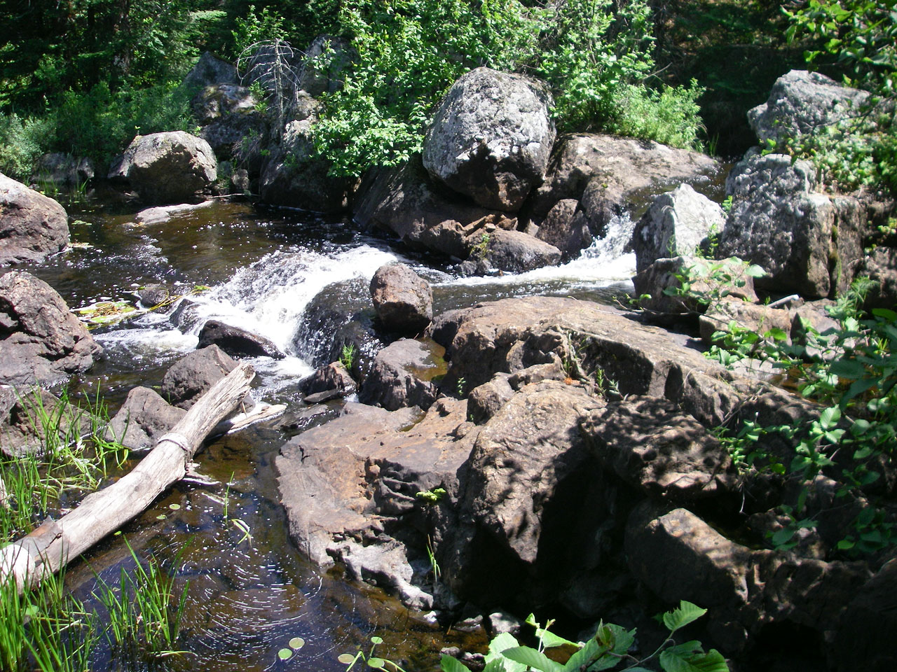
Little falls beside 4th portage (GPS: Portage_10).

Looking east back up trail of 4th portage (GPS: Portage_10).
Looking east at base of little falls beside 4th portage (GPS: Portage_10B).
Looking west along Frost River from west landing of 4th portage (GPS: Portage_10B).
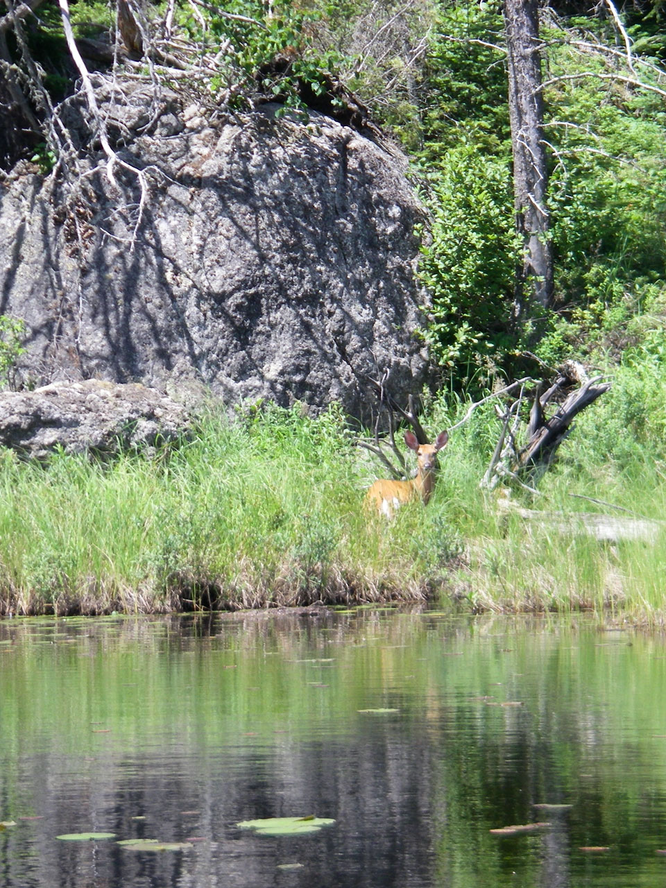
Deer between 4th and 5th portages.
View between 4th and 5th portages.
Plant life between 4th and 5th portages.
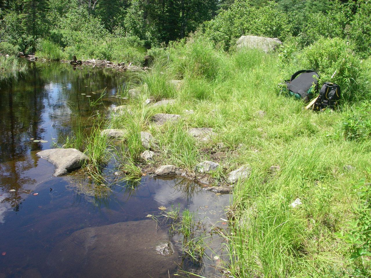
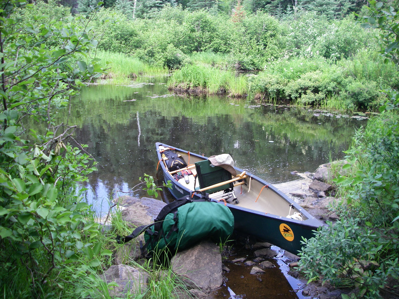
Looking west at east landing of 5th portage (GPS: Portage_11A).
Beaver dam at east end of 5th portage (GPS: Portage_11A).
Looking east along trail on east side of 5th portage (GPS: Portage_11).
Looking east at little falls emptying into Chase Lake at west end of 5th portage (GPS: Portage_11B).
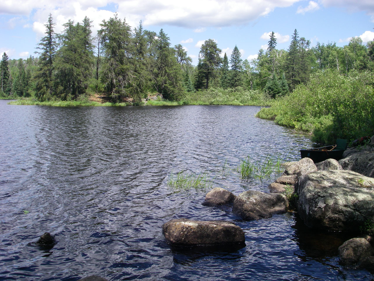
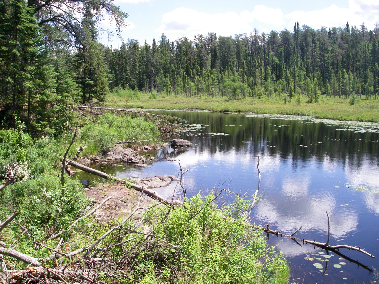
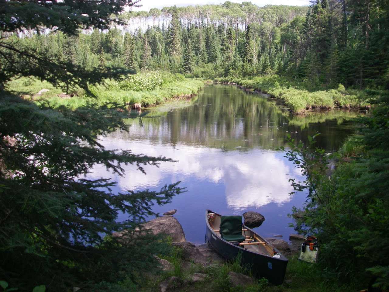
Looking north at view of Chase Lake from west landing of 5th portage (GPS: Portage_11B). Note peninsula at top-left would make a good lunch spot.
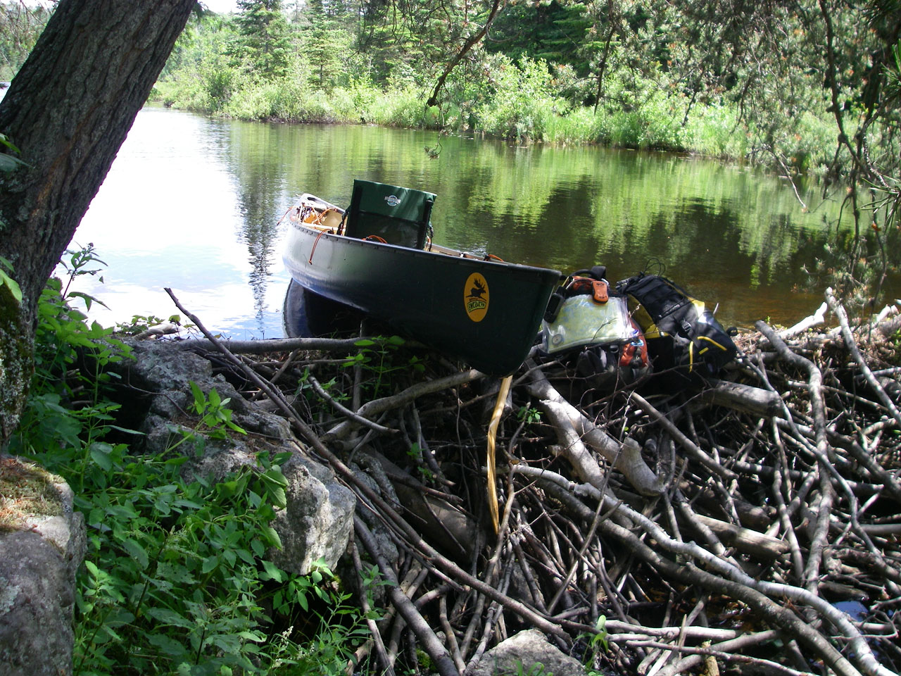
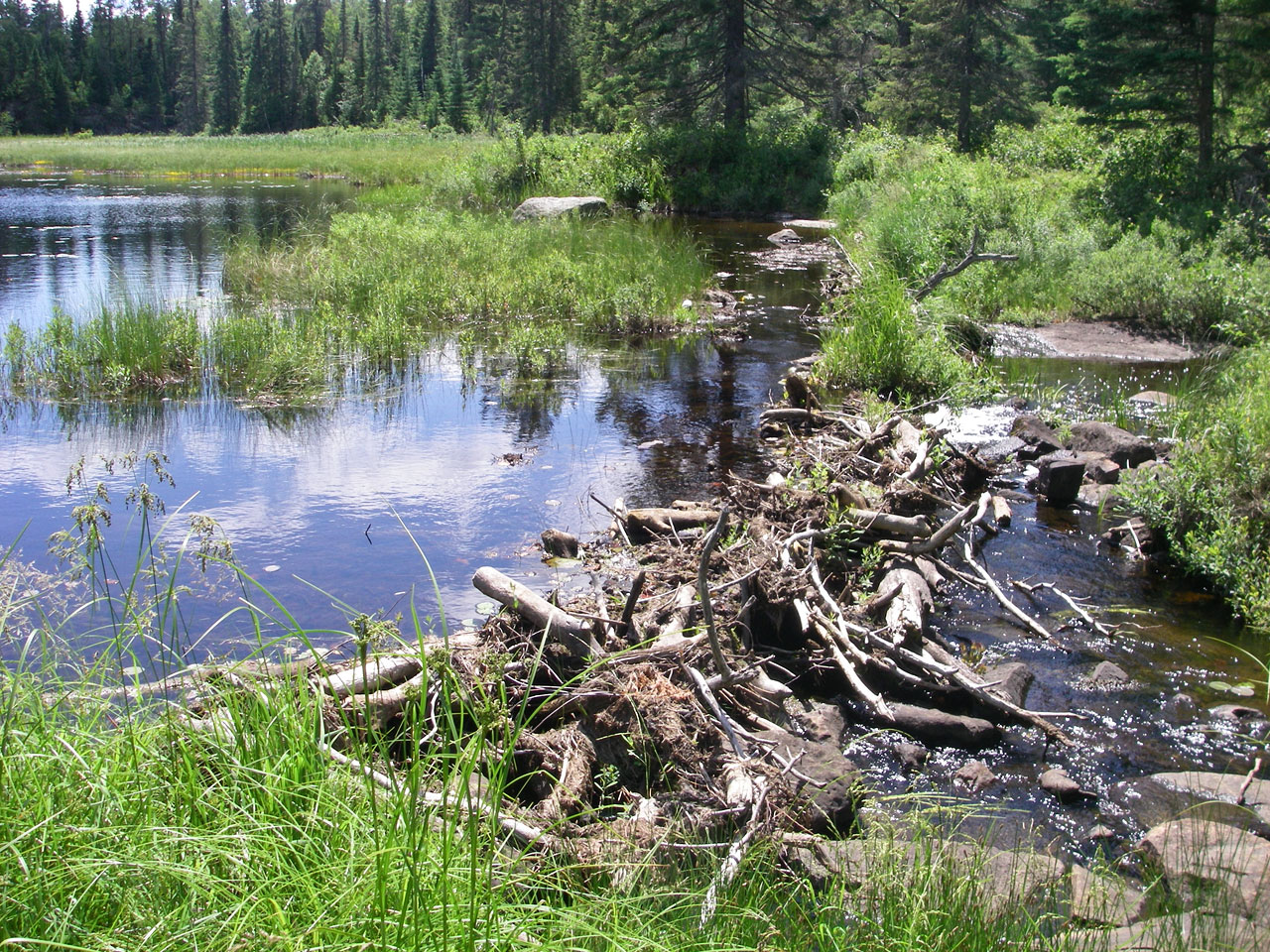
Looking east at beaver dam obstructing access to east landing of 6th portage (GPS: Portage_12A).
Wider view of beaver dam obstructing access to east landing of 6th portage (GPS: Portage_12A).
Looking west along Pencil Lake from west landing of 6th portage (GPS: Portage_12B). Note steep rock slope down to water. Better footing is to the right.
View from water's edge back up steep rock slope at west landing of 6th portage (GPS: Portage_12B).
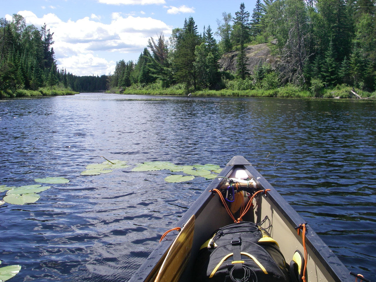
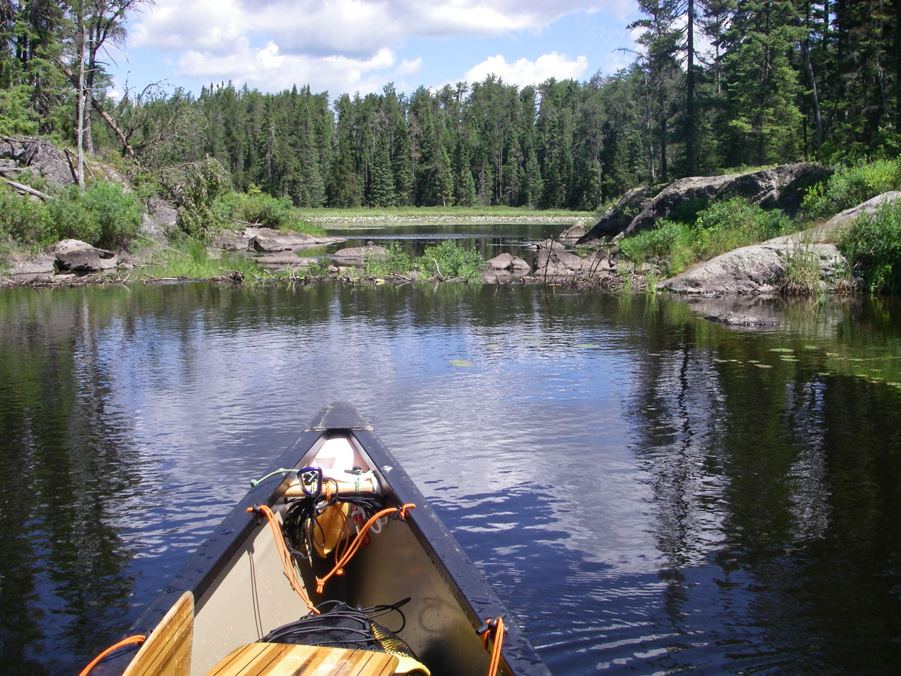
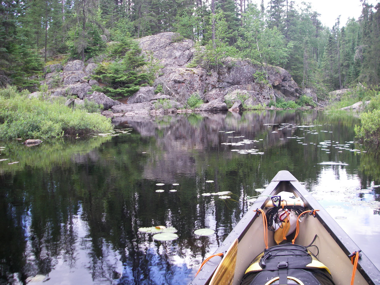
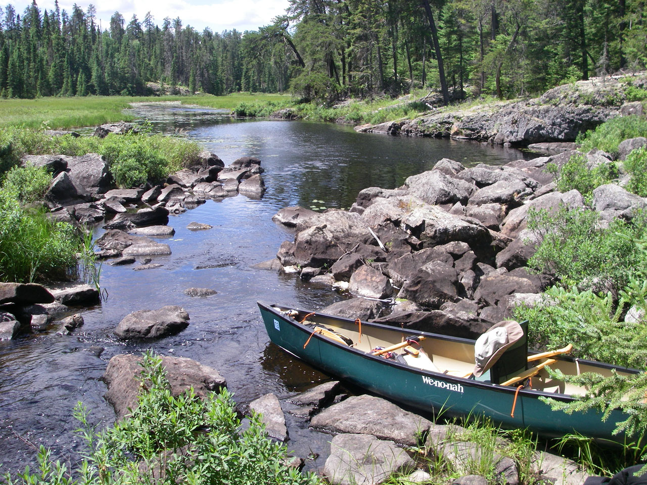
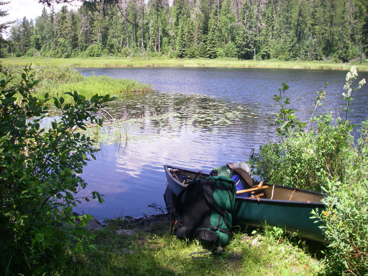
Paddling west along Pencil Lake.
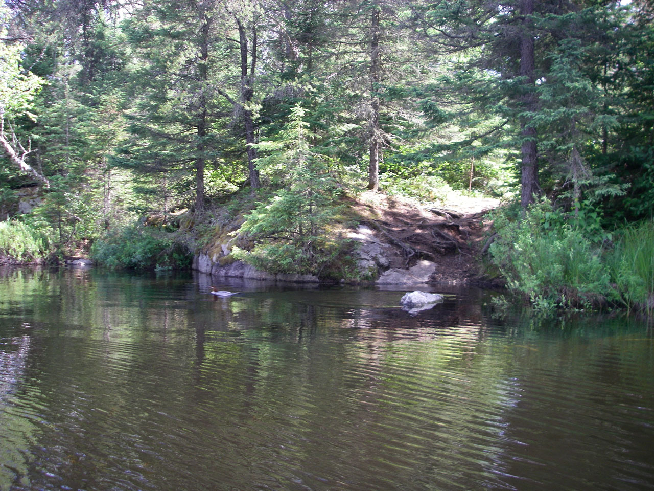
Merganser leaves rock perch at west end of Pencil Lake in front of east landing of 7th portage (GPS: Portage_13A).
Peeved merganser flees the scene at west end of Pencil Lake in front of east landing of 7th portage (GPS: Portage_13A).

Rapids and dam beside 7th portage, near Pencil Lake side (GPS: Portage_13).

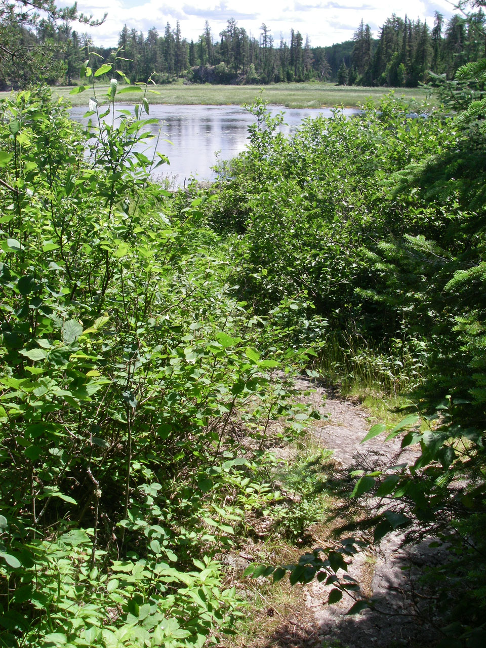
Overgrown portage trail along 7th portage (GPS: Portage_13).
Looking south from west landing of 7th portage (GPS: Portage_13B). Note that it can get very mucky here if water is low or conditions are wet.

Stretch of river between 7th and 8th portages is narrow, low and full of rocks (GPS: Rocks_01).
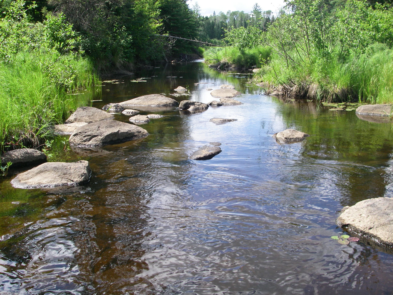
Walking or lining the canoe through stretches of rocks will likely be necessary between the 7th and 8th portages, especially in low water (GPS: Rocks_01).
Another view of rocks shortly before 8th portage (GPS: Rocks_01). Note how lower water will cause bigger problems.
Looking east at rocks and beaver dam from east landing of 8th portage (GPS: Portage_14A).
View of east landing of 8th portage (GPS: Portage_14A).
View of west landing of 8th portage (GPS: Portage_14B). Note the need to work around awkward rocks when exiting.
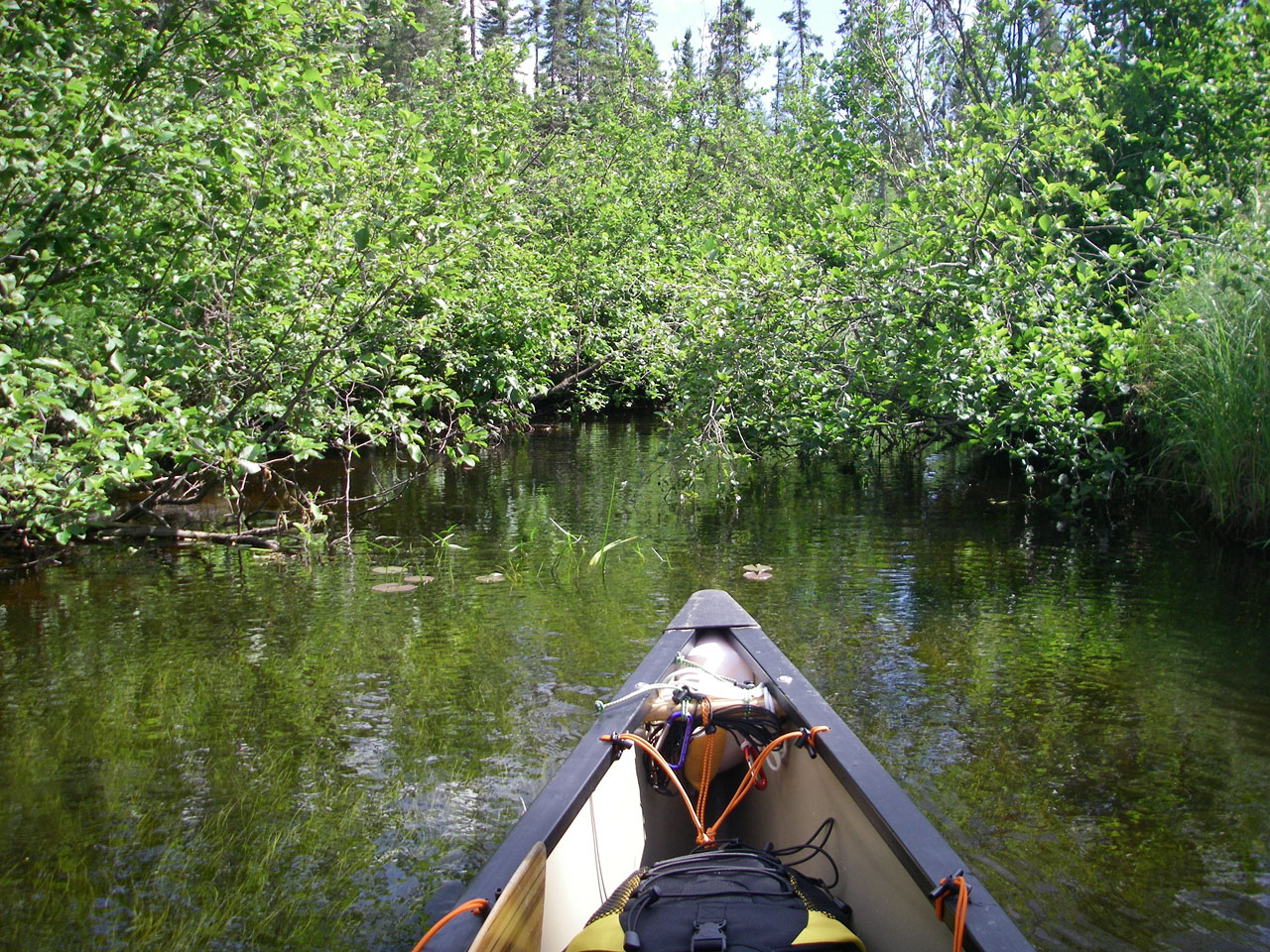
Narrow and overgrown section of river just west of 8th portage.

Very narrow section of river just west of 8th portage.
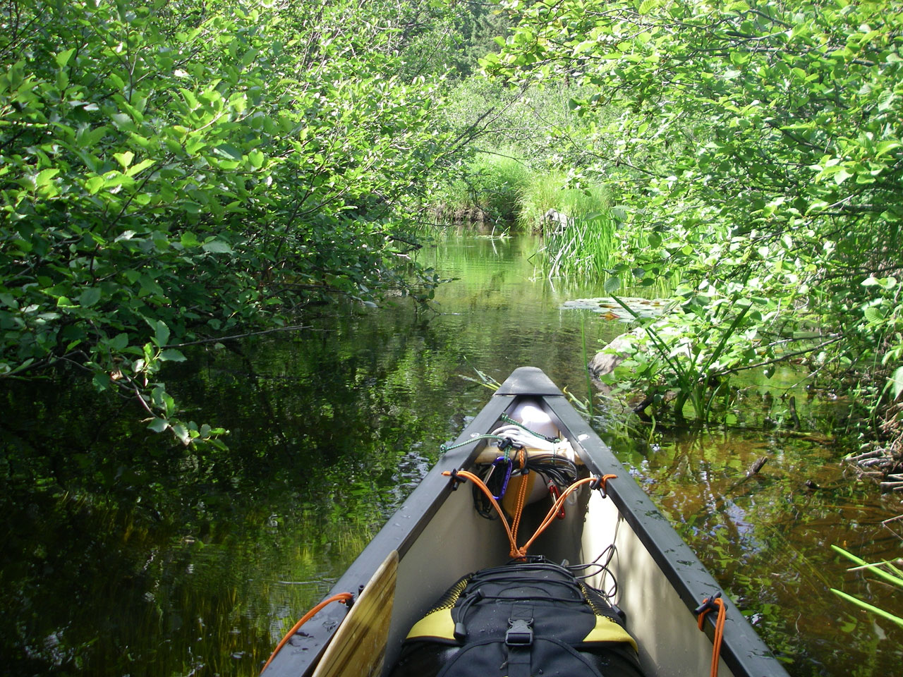
Narrow and overgrown section of river just west of 8th portage.
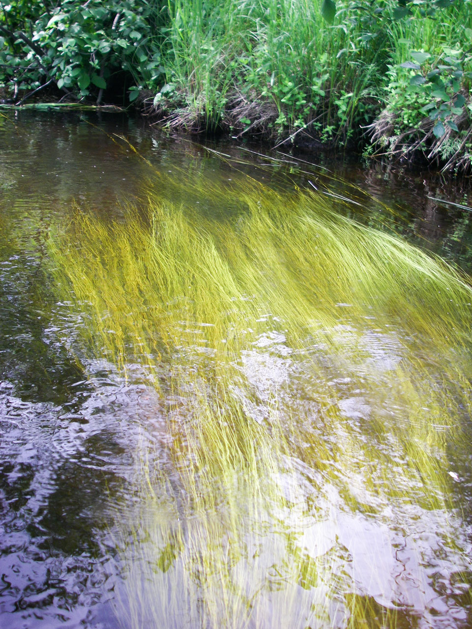
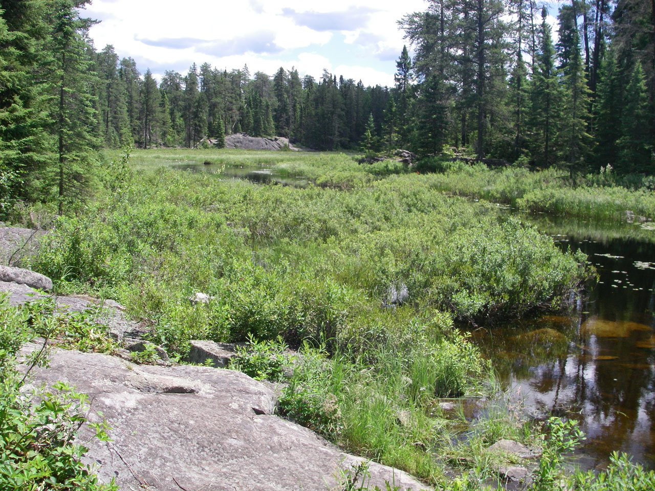
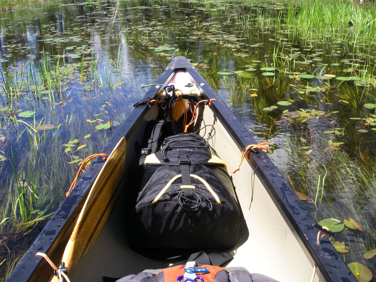
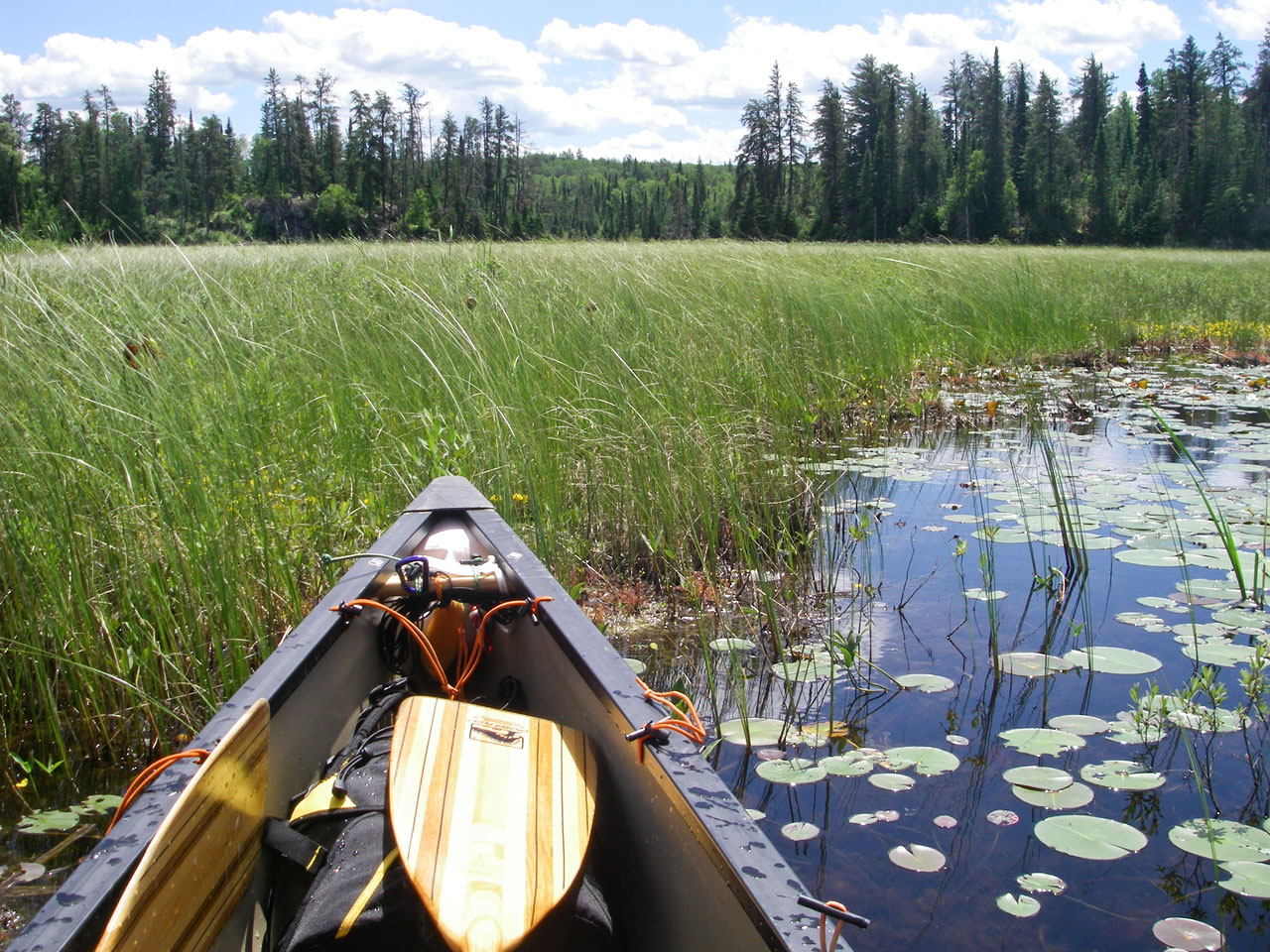
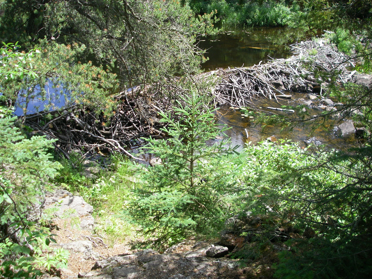
Grass chokes section of river between 8th and 9th portage. Note that there are a few beaver dams along here.
Looking southeast from east landing of 9th portage (GPS: Portage_15A).
Looking northwest from west landing of 9th portage (GPS: Portage_15B).
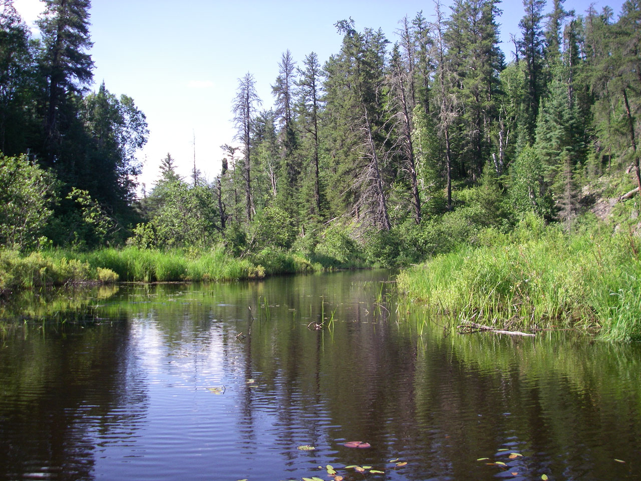
View west along river shortly after 9th portage.
Rocks that require some maneuvering around after 9th portage (GPS: Rocks_02).
Looking west along river in the vacinity of 10th portage (GPS: Portage_16). Note that I walked the canoe through the 10th portage, but in hindsight it may have been wiser to take the short portage to spare the canoe unnecessary scratches. There are also a few more beaver dams before finally reaching Afton Lake, but nothing very tough (in fact some of the dams can simply be motored-through).