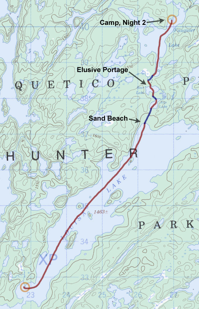
Day 3 - Louisa Lake to Fauquier Lake (Tuesday, August 5)
8 miles, 3 portages
Still recharging from a tiring first day of paddling, I slept in to 7:30 a.m.
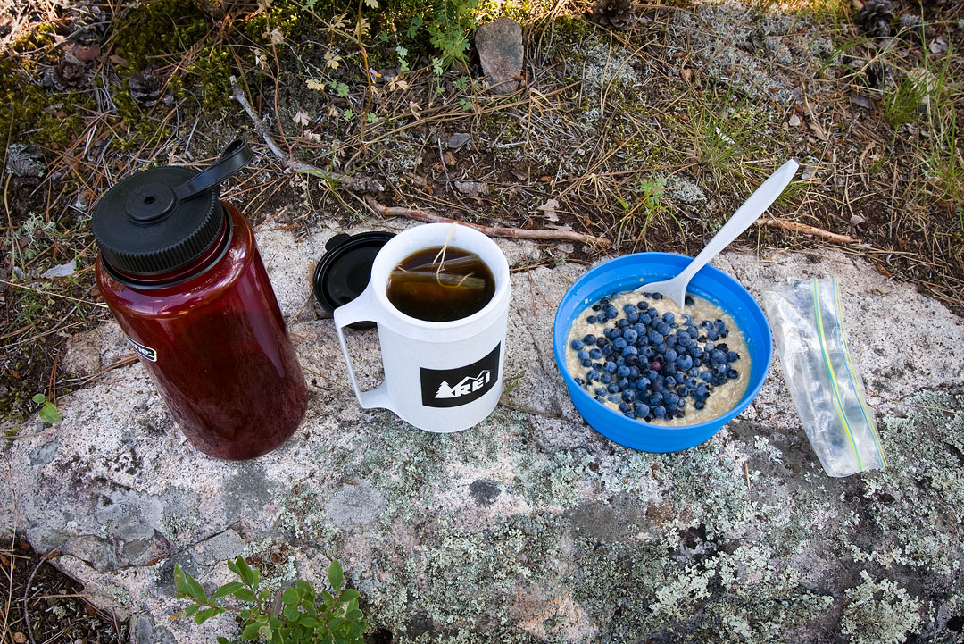
It was a beautiful clear morning, and I started it right with oatmeal piled high with fresh picked blueberries.
|
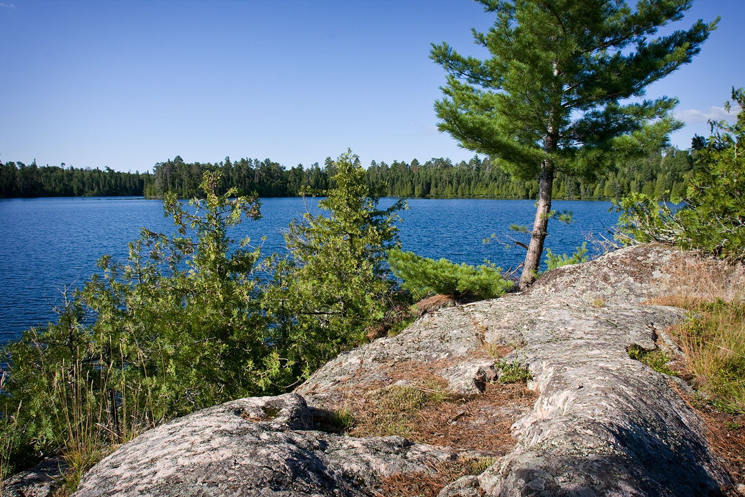
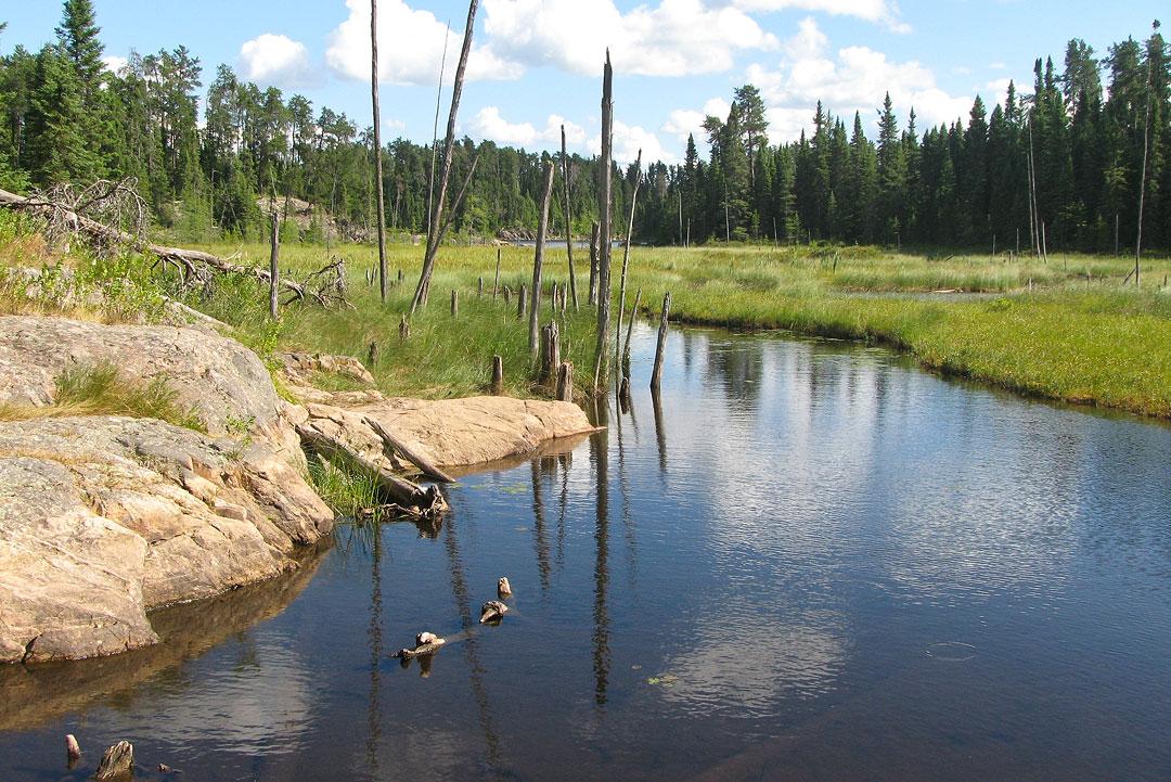
Morning view from campsite on Louisa Lake.
(click on any image for larger version)
|
|
|
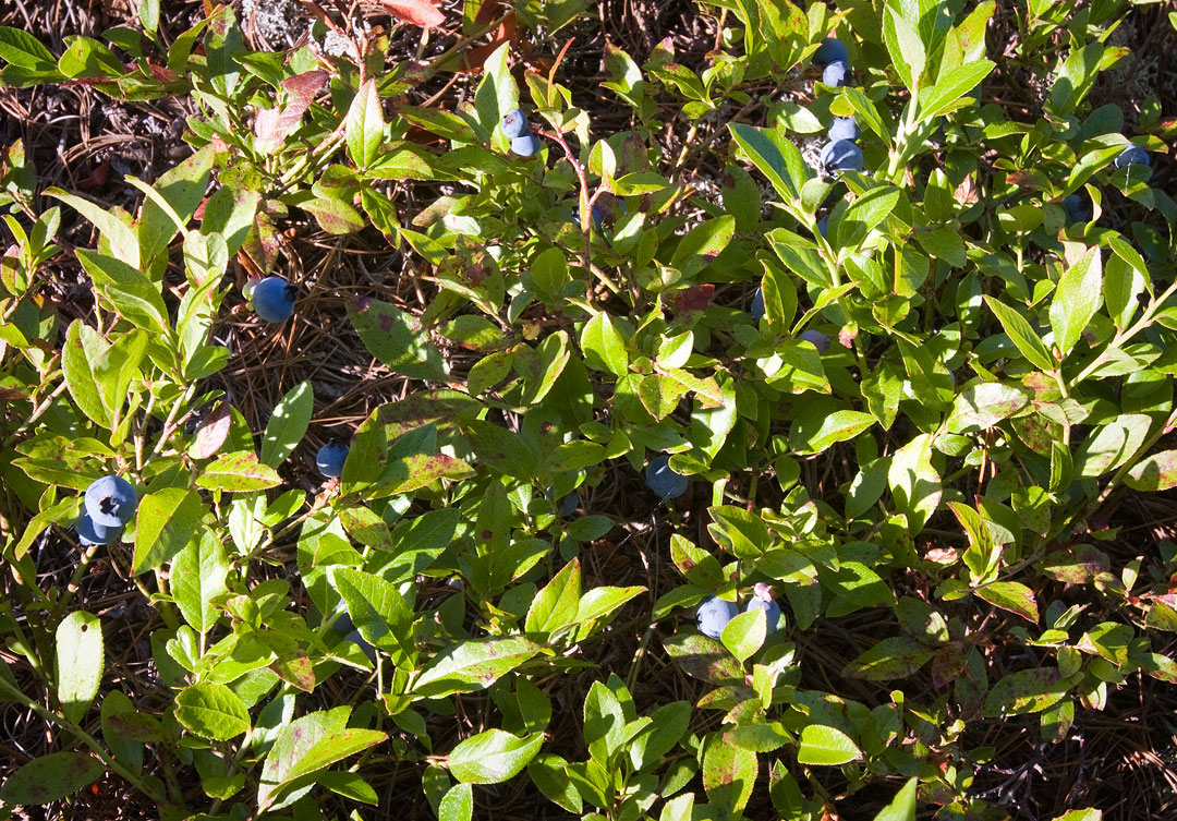
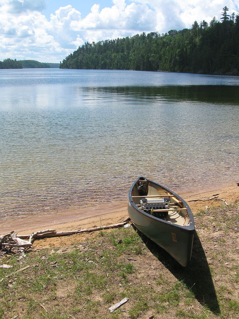
Ripe blueberries at camp find their way into breakfast. (Louisa Lake)
|
|
I had not been sure yesterday whether I would travel today or go back and photograph Louisa Falls, but this morning I decided to take advantage of the calm winds on Louisa Lake and move on.
|
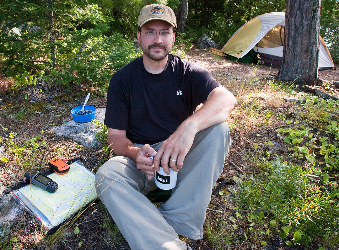
Reviewing the day's travel plans over breakfast. (Louisa Lake)
|
|
In no particular hurry, however, I spent some time exploring camp and taking photographs.
It was almost noon by the time I finally shoved off from my little point and headed northeast up big Louisa Lake.
Not surprisingly, the wind had picked up by now, and it made the paddle up Louisa a bit of a challenge.
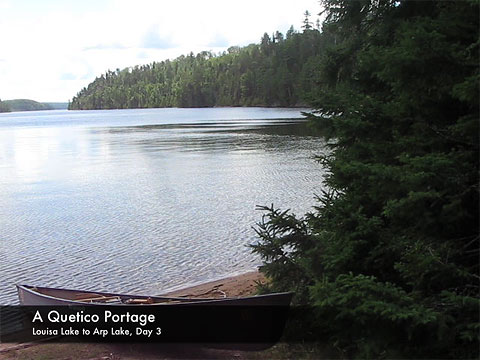
Before long, though, I was pulling the canoe up on shore at the portage leading to Arp Lake.
|
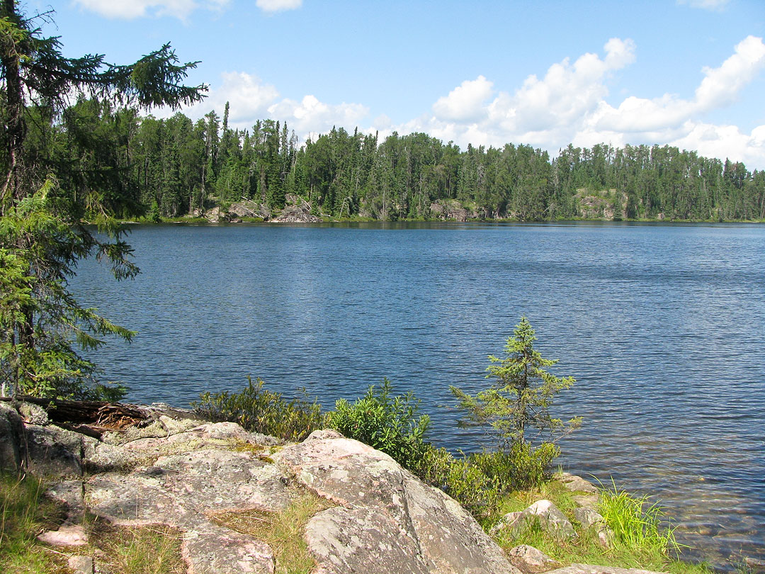
Portage landing at northeast end of Louisa Lake, leading to Arp Lake.
|
|
There was a campsite next to the portage landing and a thin strip of sand along the shore.
The sand extended out into the lake a ways, creating a nice little swimming beach.
The actual portage, however, was tricky and felt longer than the 96 rods indicated on the map.
The trail was also more overgrown than I would have thought, but as the trip progressed I found this to be fairly common for Quetico.
Generally, the portages here seemed less predictable than those over on the U.S. side of the border where routes tend to be more heavily traveled.
As I continued through my maiden Quetico voyage I soon learned to add a little length and difficulty to each portage in my mind.
This kept me from being constantly surprised when the trail turned out to be longer or tougher than expected.
|
Views of Arp Lake from southern portage landing.
|
|
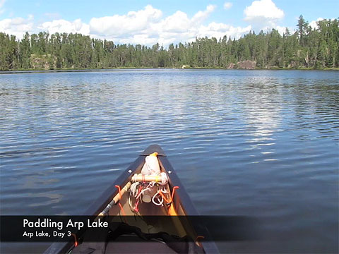
Arp was a small lake and a quick paddle.
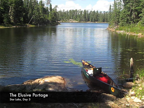
The next portage into Star Lake was not long but had quite a bit of climb and descent to it.
Star Lake itself was a very pretty little lake, and I enjoyed my leisurely paddle over to its north side.
Once on the north side of the lake, I began looking in earnest for the next portage but could not locate it.
|
End of portage from Arp Lake,
looking out at Star Lake.
|
On the map the portage is shown to start at a tiny little bay on the north side of the lake.
When I got there all I could see was a large bog.
I tried squeezing down a narrow creek off to the left side but soon turned back when it appeared I would run aground in muck.
I then paddled back and forth along the entire north shoreline but still could not find anything remotely resembling a portage.
Finally I concluded that the portage was somewhere over or alongside the bog, so I pulled the canoe up through some reeds and began slogging around on the muskeg's sponge-like surface looking for a path.
|
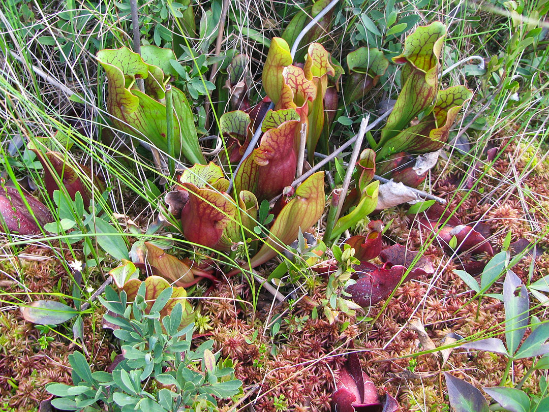
Carnivorous Pitcher Plants on the bog north
of Star Lake.
|
I really started to get uneasy when I noticed lots of faint little paths (of mostly human footprints) crisscrossing in a seemingly random way across the muskeg.
At the far side of the bog there was a heavily treed ridge that looked virtually impenetrable.
A rough path of footprints ran along the edge of the ridge but did not seem to really go anywhere.
Clearly I wasn't the only one to have fallen victim to this elusive portage, and after an hour of searching, it finally occurred to me that this was not the way through.
I returned to the canoe and decided to give that little creek to the left of the bay another try.
It was really the only remaining option.
On this second try I did managed to push my way through the grass and muck to a slightly wider section of creek, and yes, a portage landing finally appeared.
Now I just felt stupid, but I did learn a valuable lesson.
Maps aren't always right, and sometimes it pays just to use common sense!
|
Creek at north end of Star Lake. The portage to Fauquier Lake is somewhere back there.
|
|
The portage into Fauquier Lake was another tricky one, but at least it was finally downhill.
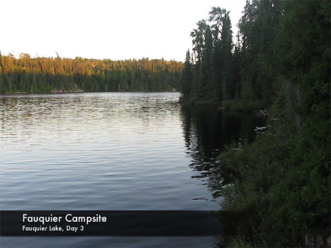
Because of my late start and all the time I had wasted looking for the last portage, the day had already grown long, and I decided it would be best to stop on Fauquier for the night.
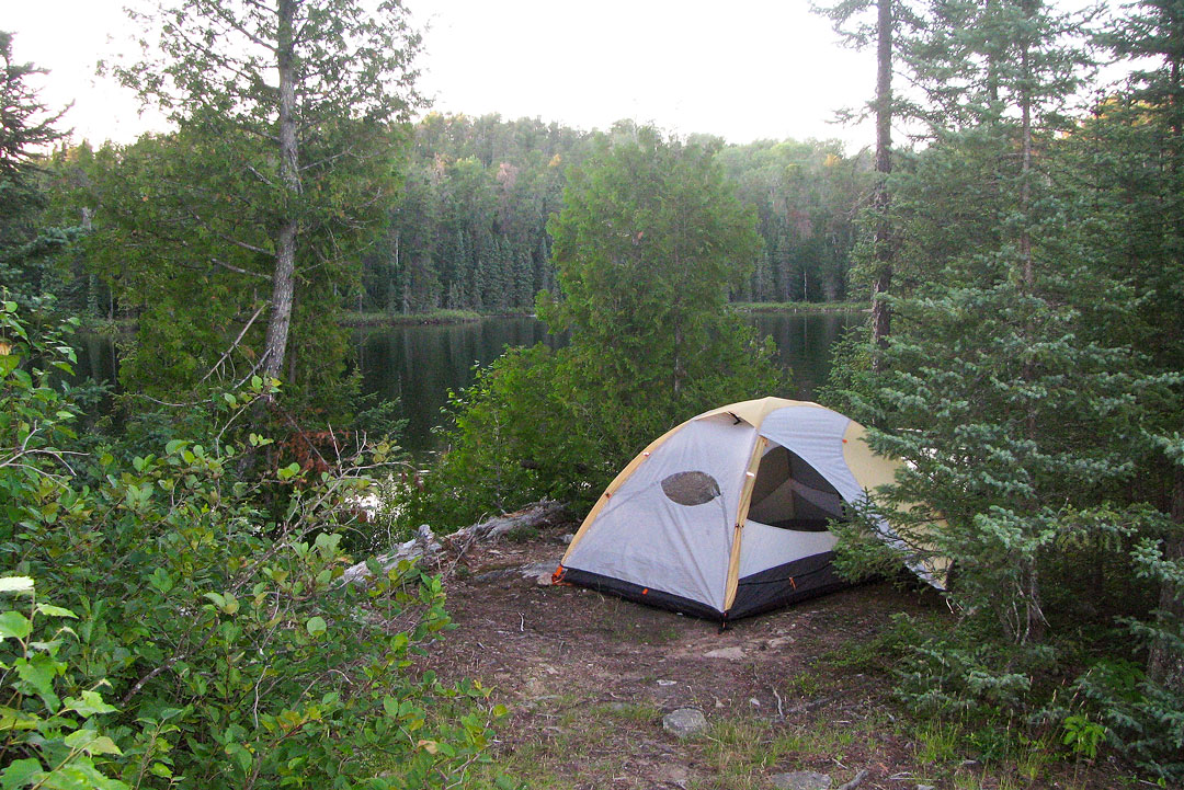
I made a quick visit to each of the four campsites recorded on the map, and of the two decent sites, I chose the one closest to the portage that exited out the north end of the lake.
|
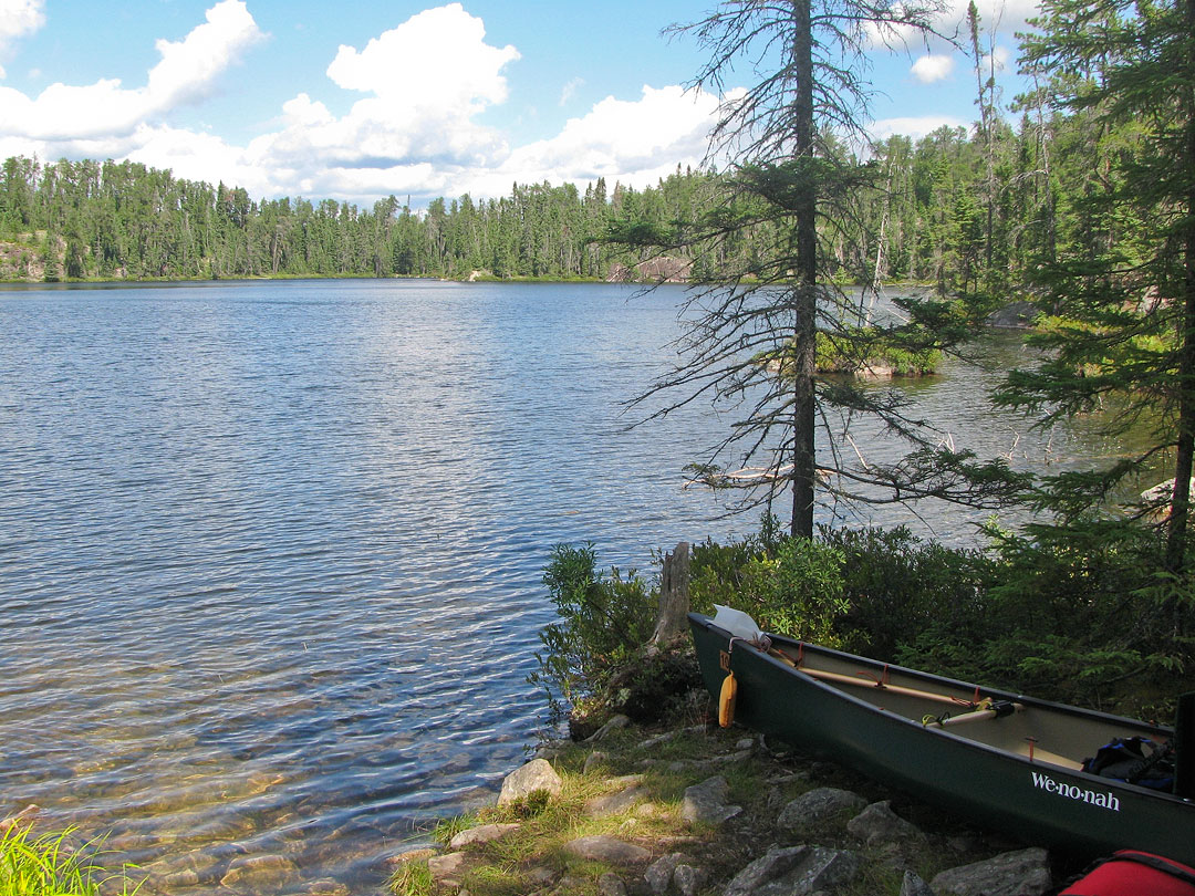
Campsite on Fauquier Lake.
|
|
A loon kept a close eye on me while I ate dinner, and again just after sunset the mosquitos descended.
I quickly ran for cover in the tent and watched as the little vampires began to dive-bomb the tent's outer screen.
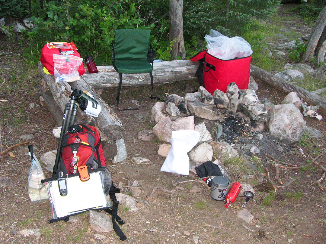
I updated my journal to the drone of the mosquitos and soon drifted off to sleep.
Videos (click image to play)